KSA · RIYADH · BOULEVARD
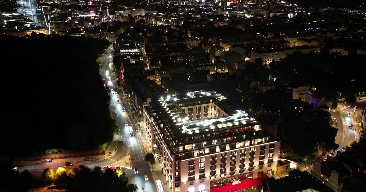
Boulevard Riyadh City in Hittin, north-west Riyadh (24.768 N, 46.605 E), built from OpenStreetMap and aerial imagery and rendered live in the browser with three.js (WebGPU, WebGL 2 fallback).
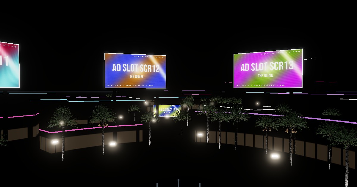
16 screens, 4 zones
Seven on The Square, seven on the Promenade, the Globe and the Water Curtain, each with its size, pixel pitch and resolution, playing its own ad slot.
Sunset to 01:00
Sun position for Riyadh on the day, exposure in EV100 and screen brightness in nits; street lighting and palm uplights switch on at dusk.
Six-shot showreel
Aerial approach, axis flythrough, crane over the square, the lake, eye level and a screen close-up, from 17:00 to 22:00. Recordable to MP4.
Unofficial visualisation, not affiliated with Boulevard Riyadh City or the General Entertainment Authority. Screen sizes are estimated; ad slots are placeholders. Date palm model: “Realistic HD Date palm (13/78)” by PlantCatalog, Sketchfab, CC Attribution.
WHO BUILDS THE SCREENS
The companies behind Boulevard's LED hardware, control and content, from their own published case studies. Next door at Boulevard World stands the world's largest LED sphere.
Colorlight
Drives the 35 m Boulevard World sphere: a CS20-8K Pro media server with Grandshow software, which maps UHD content across the sphere's custom modules.
Unilumin
Built the 35 m sphere: creative design, steel structure, custom modules and the spherical content. Riyadh Season LED: about 7,000 m² outdoor in 2021, over 10,000 m² of LED ceilings and outdoor screens in 2022. Also the 8 m Globe in Boulevard City (2021).
Sela & GEA
Sela runs the Boulevard zones for the General Entertainment Authority and holds the Guinness record for the largest LED sphere: 35 m, 21 November 2022, set for the opening of Boulevard World.
Pixel pitch, resolution and module counts for the sphere are not published; the twin's screen sizes are estimates.
KSA · RIYADH · KAFD
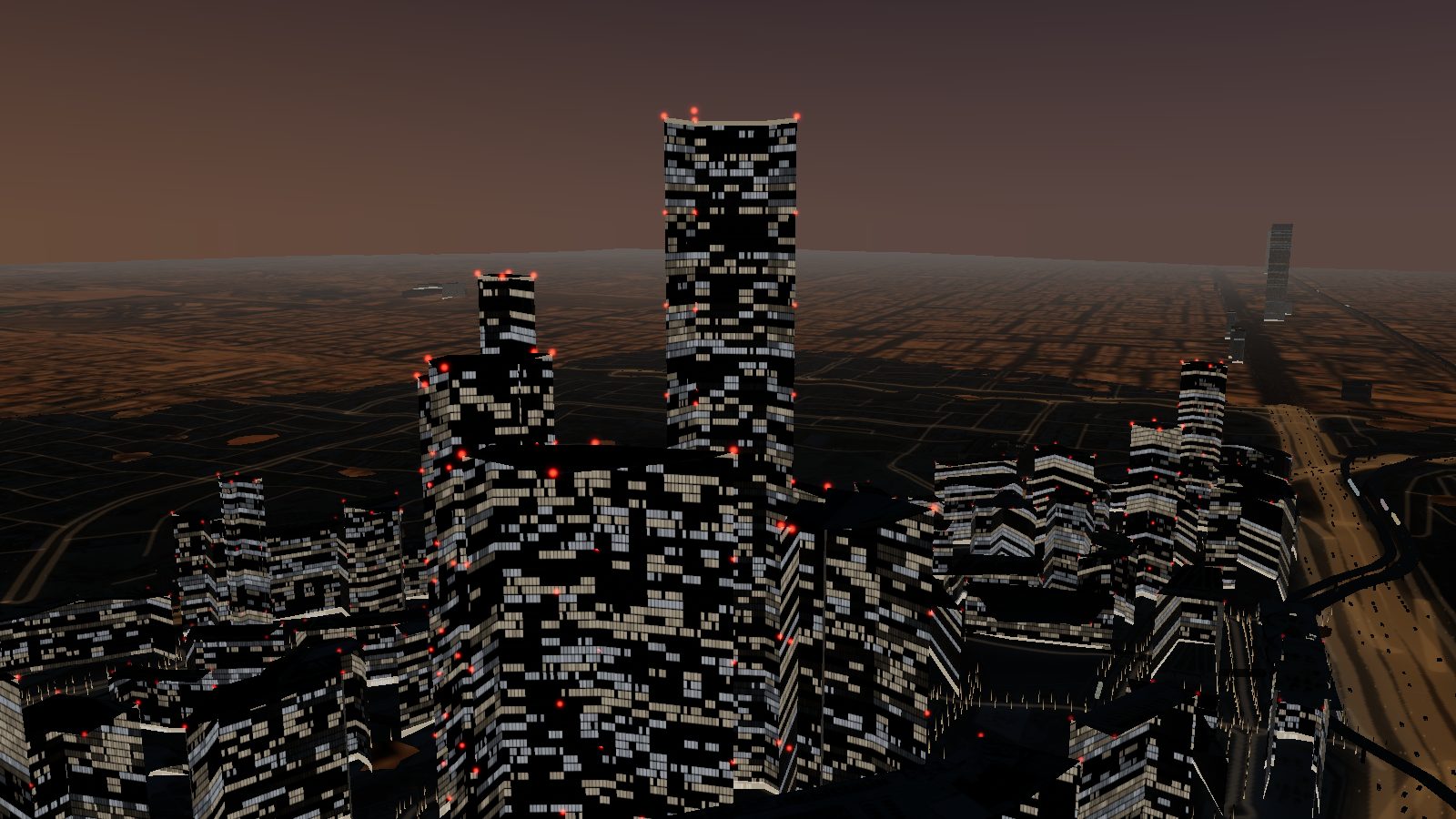
King Abdullah Financial District, Al Aqiq, north Riyadh (24.763 N, 46.640 E): how the 1.6 km² district was built from 2006 to 2026, its 69 buildings, architects, companies and people, and a real-time 3D twin with metro lines 1, 4 and 6, the monorail, obstruction lights and helicopter flights. In English, Arabic and Chinese.
Construction year by year
From the 2006 royal approval and Henning Larsen's masterplan to the PIF takeover in 2017, PIF Tower (385 m) in 2021, the metro in 2024 and the hotels of 2026.
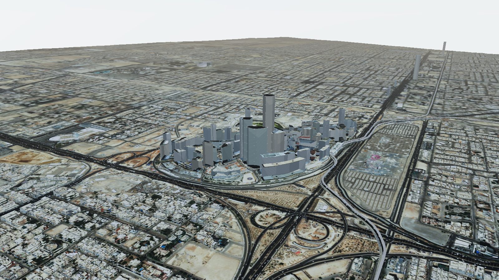
Day, evening, night
Sun for Riyadh by the minute, metro trains, road traffic, 2,600 date palms, skybridges and ICAO obstruction lights; works with touch on phones and tablets.
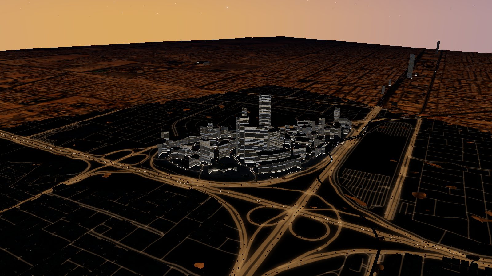
69 buildings, 71 companies
Height, floors, architect, year and occupants of each tower, with links to the architects, the companies based there and the people who planned and run the district.
Unofficial visualisation, not affiliated with KAFD DMC or the Public Investment Fund. العربية · 中文
KSA · RIYADH · DIRIYAH
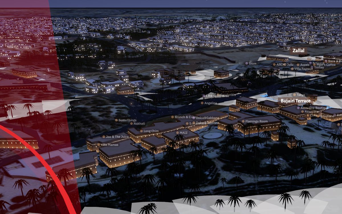
Diriyah in western Riyadh: At-Turaif (UNESCO World Heritage Site), Bujairi Terrace, Zallal, Bab Samhan, Wadi Hanifah, Al-Awja Palace with its four helipads and the flagpole in King Salman Square, built from OpenStreetMap, Overture Maps, Esri imagery and the diriyah.sa map: 9,356 buildings, 65,010 palms, 423 points of interest and 17 car parks.
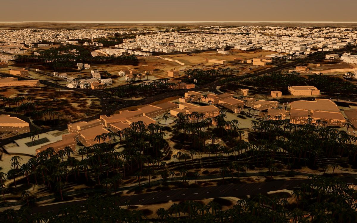
Parking and walking times
Phone guide to the Bujairi and Samhan car parks (Samhan: 1,700 bays, SAR 10 an hour), valets and drop-offs, with walking times to At-Turaif, Bujairi Terrace and Zallal. Works offline.
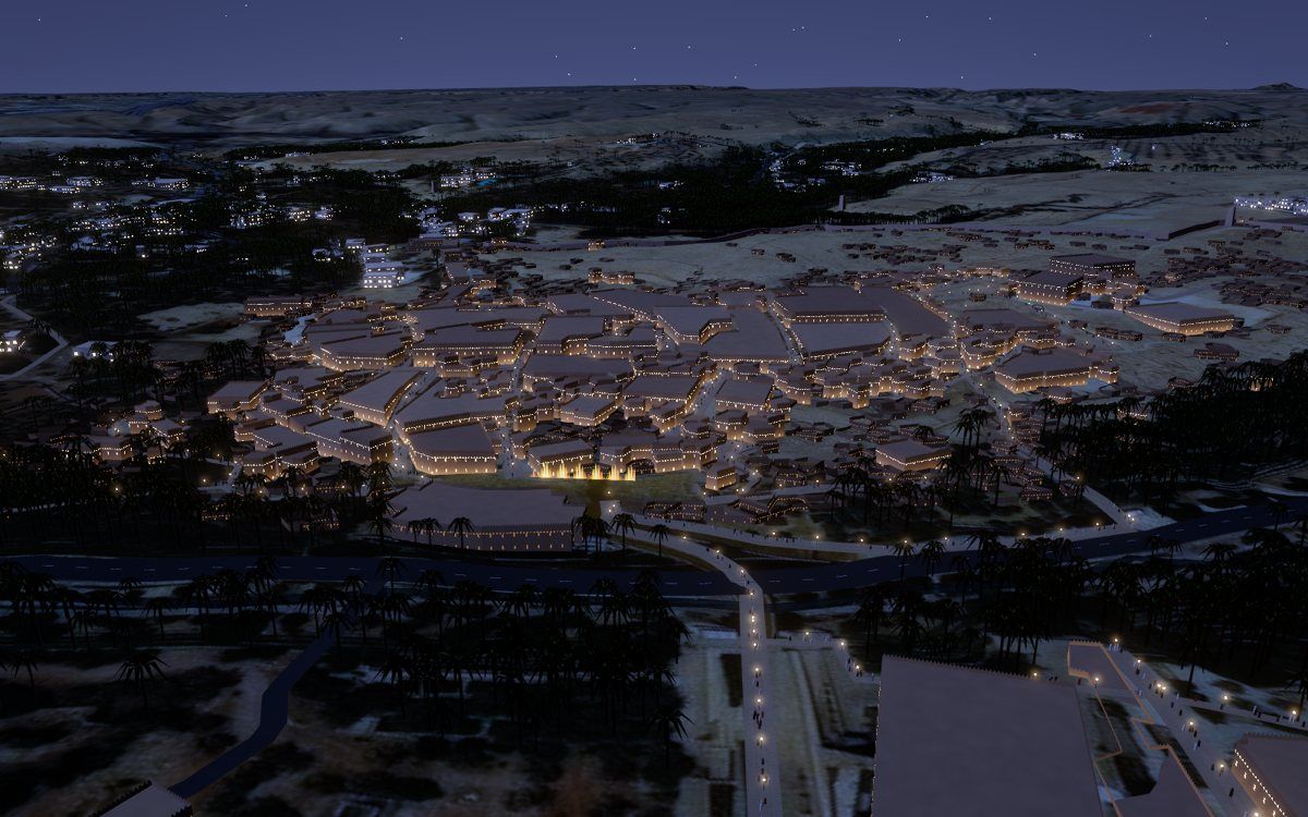
Day to night
Najdi mud-brick districts, palms detected in the imagery, lanterns and the sun for Riyadh by the minute. English, Arabic, French and Chinese.
Security, events, emergency
Explore, Visitors, Security, Events, Emergency, Marketing and MICE: 24 event spaces with computed capacities, 18 evacuation routes, 11 checkpoints and 208 CCTV placeholders.
Unofficial visualisation, not affiliated with Diriyah Company. Building heights, capacities and CCTV positions are estimates or placeholders. Overview · العربية
KSA · RIYADH · QIDDIYA
Qiddiya City below the Tuwaiq escarpment, south-west of Riyadh: Six Flags Qiddiya City (opened 31 December 2025), Aquarabia (opened 23 April 2026), the Prince Mohammed bin Salman Stadium site on the cliff top and the Speed Park Track under construction, on 1.1 m imagery and 10 m terrain.
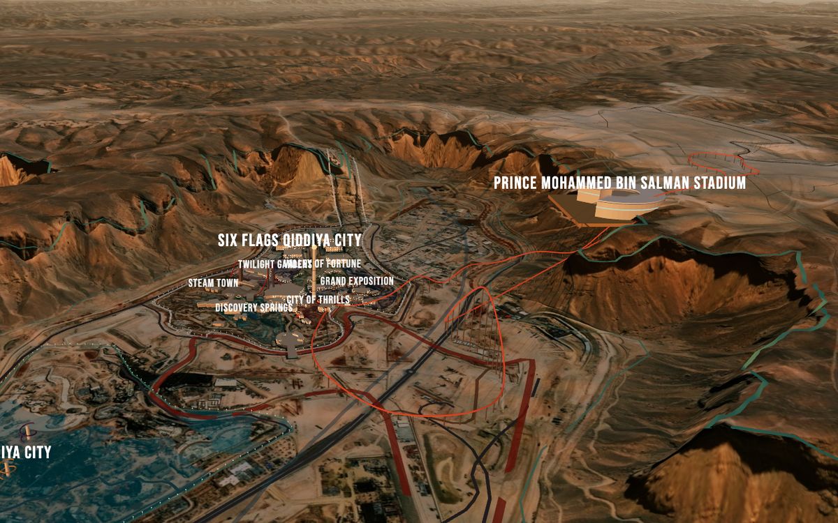
Resort core at dusk
Six Flags' six lands and 17 rides, Aquarabia, 769 roads and 20 under construction, the cliff line and Wadi Laban, with the sun for Riyadh by the minute.
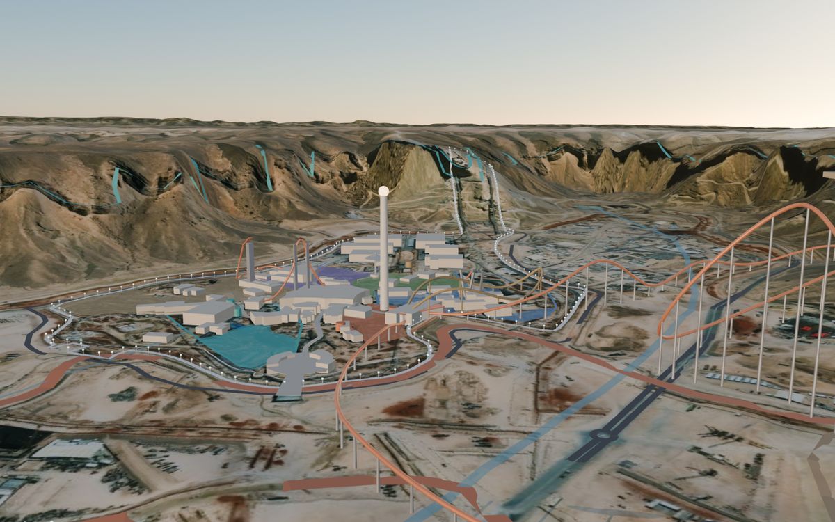
4,250 m, 163 m high
The Intamin Exa coaster as a schematic centreline at its published length: launch up the cliff, 90-degree drop into a tunnel, the camelback and a moving train.
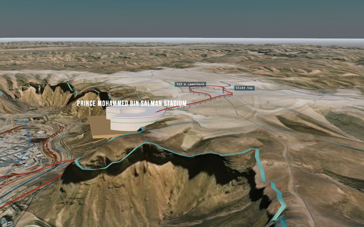
2034 World Cup venue
The stadium on the cliff top (46,979 seats proposed, groundbreaking 12 December 2024) and the 7.36 km road under construction, drawn as the Speed Park Track candidate.
Unofficial visualisation, not affiliated with Qiddiya Investment Company. Falcons Flight and the Speed Park Track are schematic; building heights are estimates. العربية · 中文
KSA · RED SEA · AMAALA
Red Sea Global's two resort destinations on the north-western coast, from Umluj to AMAALA's Triple Bay: the islands of the Al Wajh lagoon, 26 resorts and Red Sea International Airport, in real-time 3D with 1.1 m imagery at the resorts. Built for World Travel Market London, November 2026.
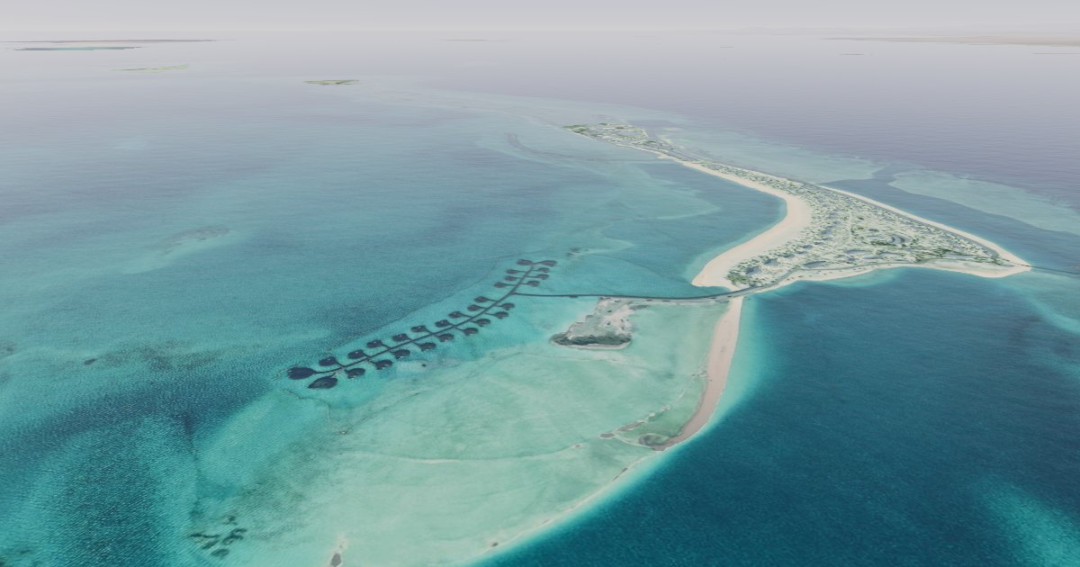
The Red Sea and AMAALA
Resorts, islands, arrival at RSI, the rendered film and the four formats: WebGL, Blender, Unreal Engine 5.8 and video.
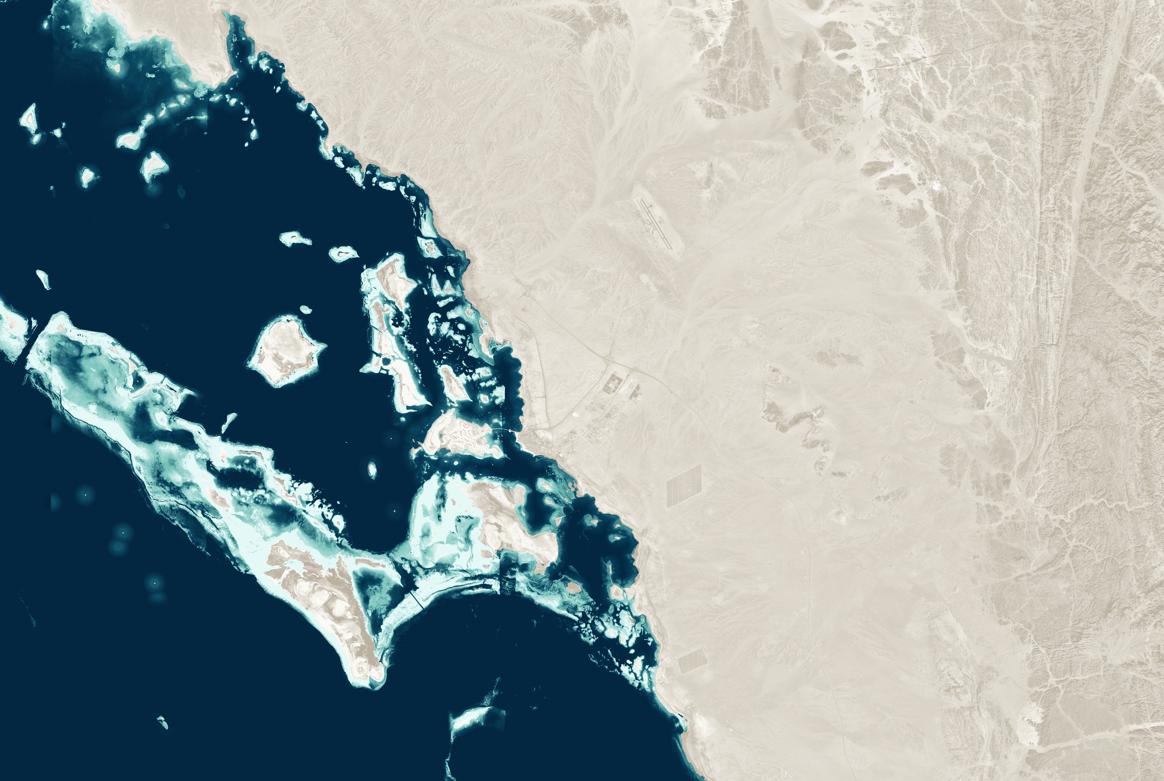
26 resorts, 90+ islands
Resort cards with official photographs, sun position by the minute, English and Arabic, on phones, tablets and desktops.
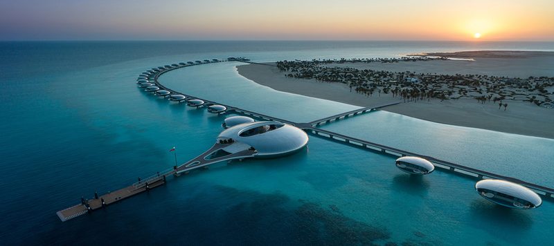
Automatic tour
Lagoon, Shura Island, Ummahat Al Shaykh, Sheybarah, Southern Dunes, Desert Rock, RSI and AMAALA; returns to the tour 75 s after the last touch.
Unofficial visualisation, not affiliated with Red Sea Global.
KSA · TABUK · NEOM
NEOM in Tabuk Province from public data, with the construction status as of 24 October 2026: The Line's phase 1 at the Hidden Marina, Trojena, Oxagon and the Port of NEOM, Sindalah, NEOM Bay Airport and the Magna coast, on Esri and Sentinel-2 imagery. 151 sources.
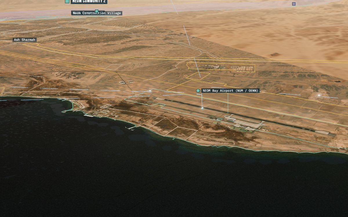
The 270 km region
13 airports, 25 hotels, 11 lifts and 21 landmarks, each with its sources and position quality; day, golden hour, evening and night; orbit or fly the helicopter.
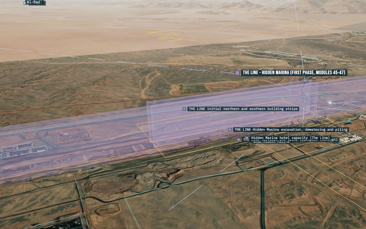
Built, under way, on hold
The Line on hold since September 2025; Trojena's dams at about 30 % when the contract ended in March 2026; the Port of NEOM operating and the green hydrogen plant at Oxagon commissioning.
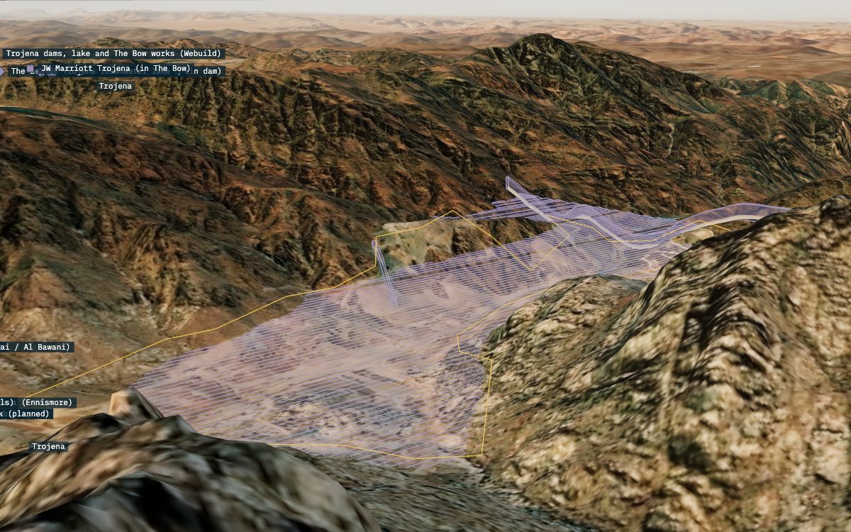
43 plan stages
The master plan by year on a slider, from the 2017 announcement to 2045, next to what the October 2026 imagery shows; eVTOL routes between eight vertiports as a simulation.
Unofficial visualisation, not affiliated with NEOM Company or the Public Investment Fund. Trojena's lifts and runs, Oxagon and the 170 km envelope are schematic; NEOM no longer publishes dimensions. العربية
KSA · MAKKAH · MASJID AL-HARAM
The Grand Mosque of Makkah and about 2 × 2 km around it from OpenStreetMap, Esri imagery (0.56 m) and SRTM terrain: the mosque, the King Abdullah extension, the Masaa and the Mataf, the Kaaba, 13 minarets, 19 gates and the 601 m Clock Towers.
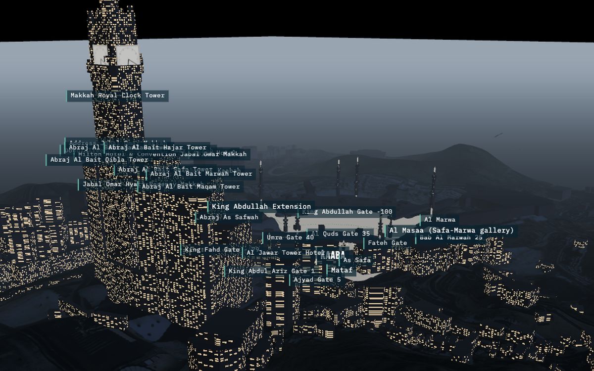
Day and night by prayer time
24-hour timeline with the Makkah sun position, Umm al-Qura prayer times and the Hijri date; the clock faces show the twin's time.
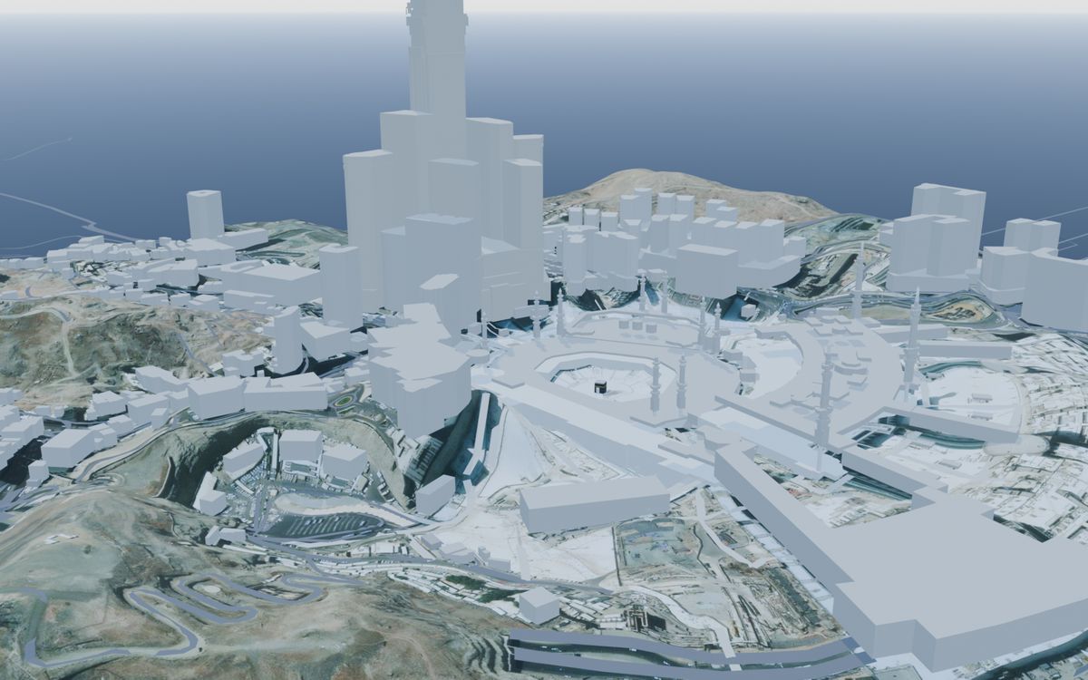
1,178 buildings, 926 roads
Every layer switches on and off: the Clock Towers (163 building parts), city buildings, roads and 60 tunnel segments, minarets, gates, crowd and camera placeholders.
Unofficial visualisation, not affiliated with any Saudi government body. The crowd and camera layers are synthetic placeholders, not measurements or real positions. العربية