01
Aerial mapping & photogrammetry
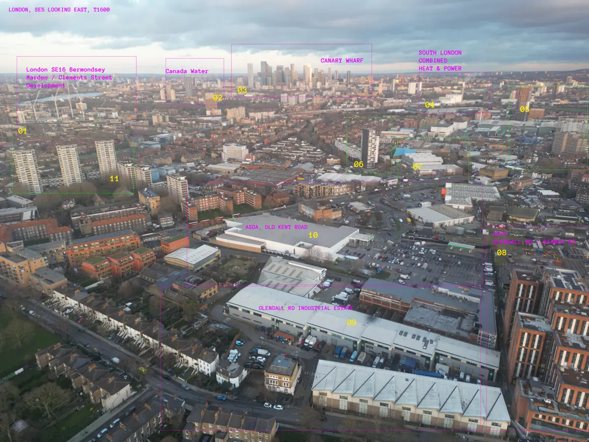
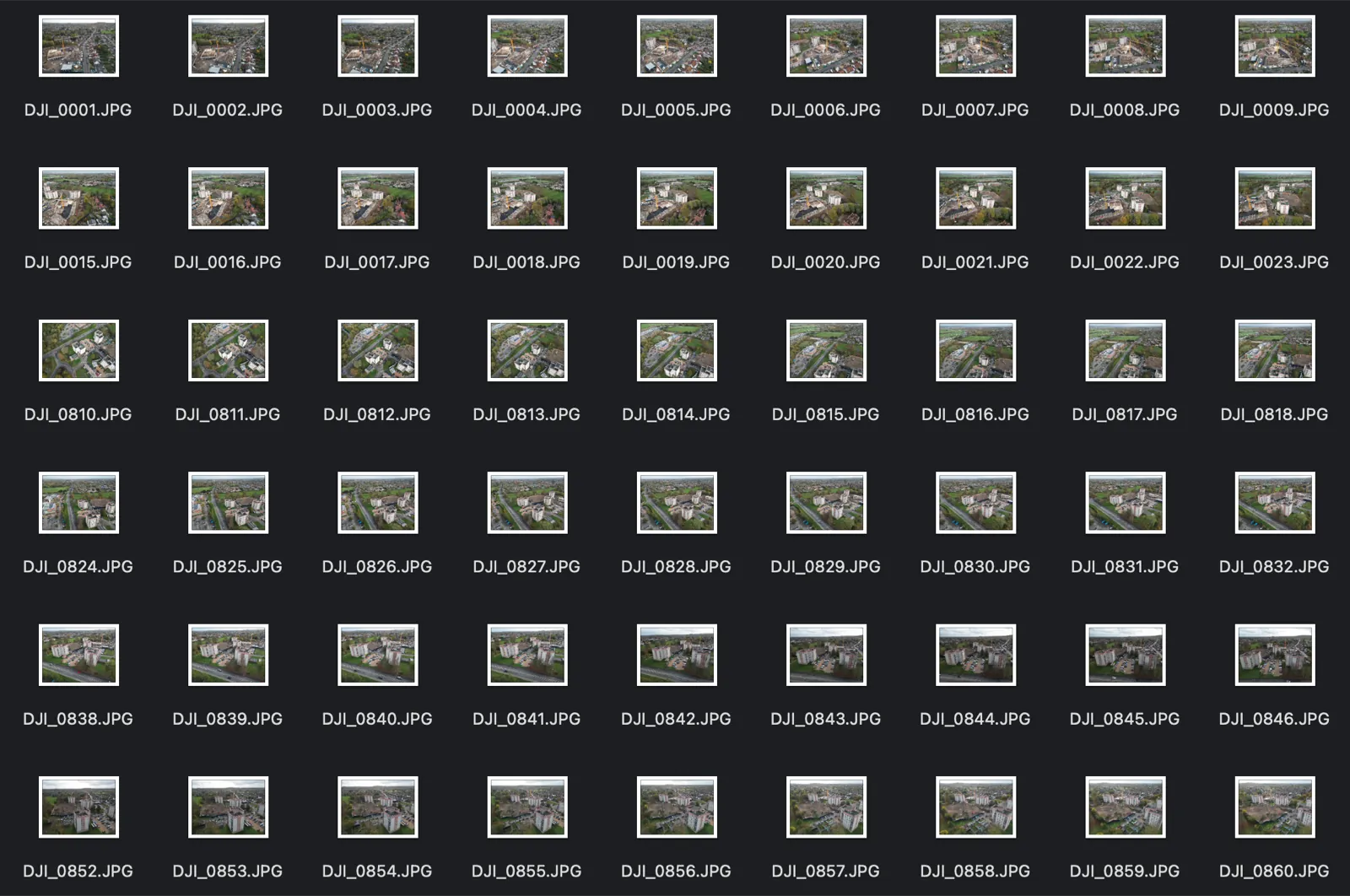
RTK-referenced capture at 80–90% overlap, orthomosaics, digital elevation models and textured meshes for sites, streets and estates.
Pix4D · RealityCapture · Meshroom · QGIS
Aerial mapping, 3D Gaussian-splat scans, facade inspection, drone-show design and airspace research. Flown by Bart Sakwerda, UK CAA GVC-certified remote pilot, for Budots Media since 2015.
Small UAV operations planned around a deliverable: an orthomosaic, a splat you can walk through in a browser, a facade condition report, a show file for a thousand drones. Every mission is flown under a written plan, in class-compliant airspace, with insurance in place.
RTK-referenced capture at 80–90% overlap, orthomosaics, digital elevation models and textured meshes for sites, streets and estates.
Drone-to-splat pipelines for city blocks, venues, vehicles and interiors. Web-ready scenes that look like the real place, not a mesh.
Visual and thermal capture with RTK positioning, a written mission plan, overlap rules for facade, roof and orbit passes, and a 3D model for the maintenance team.
A browser-based show planner for 1,000-drone formations, plus Blender node pipelines and Skybrush exports for the show file.
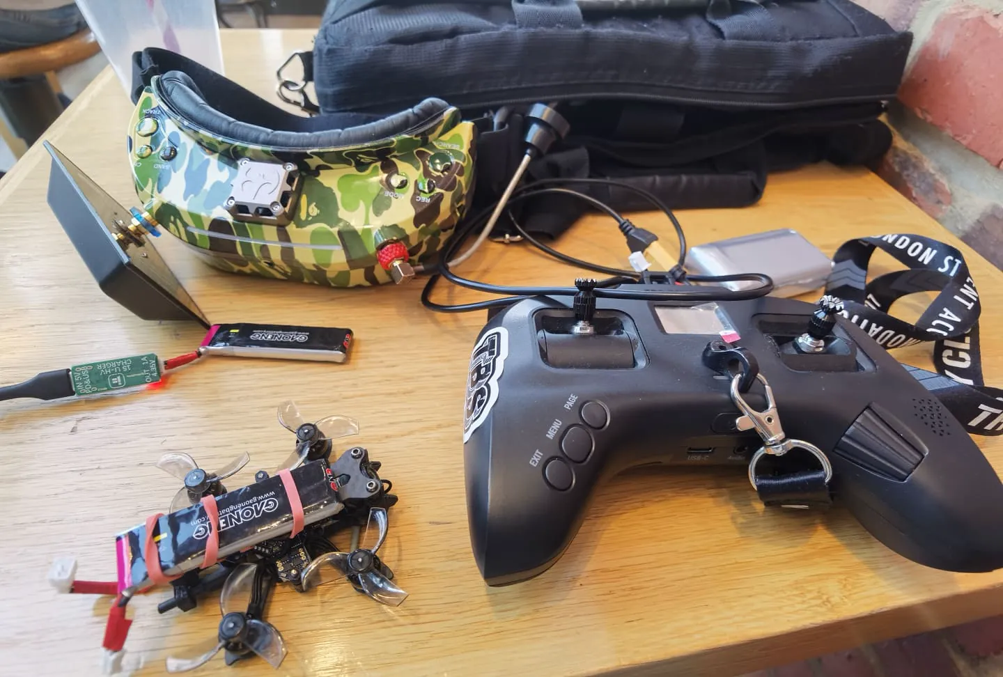
Cinematic and FPV footage for media, architecture and tourism: fly-throughs, reveals, follow shots. Flying stabilised UAVs since 2019, FPV since 2020.
London airspace mapping, GVC operations in the Specific category, NHS delivery-corridor and vertiport studies, counter-UAS reference work.
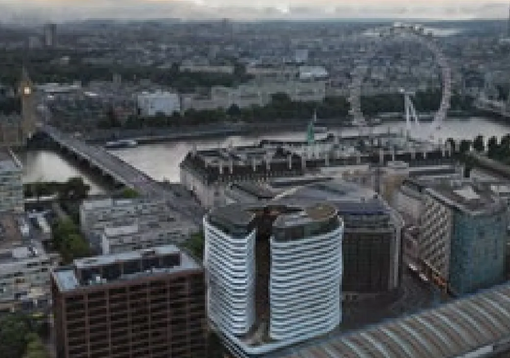
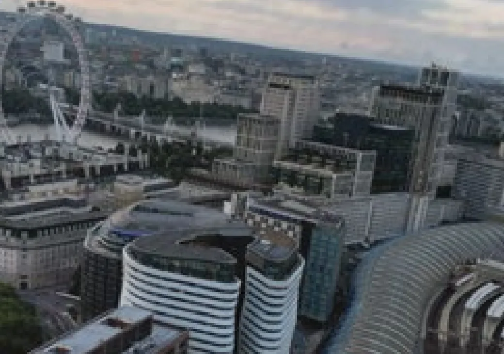
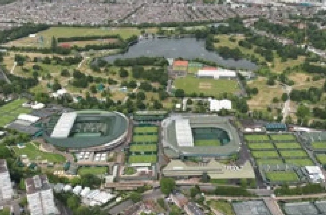
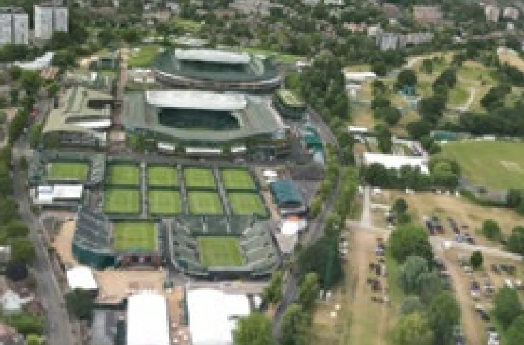
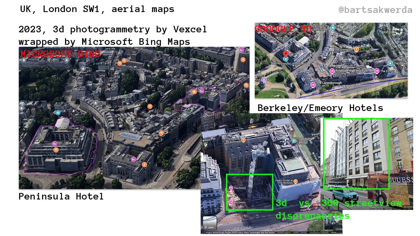
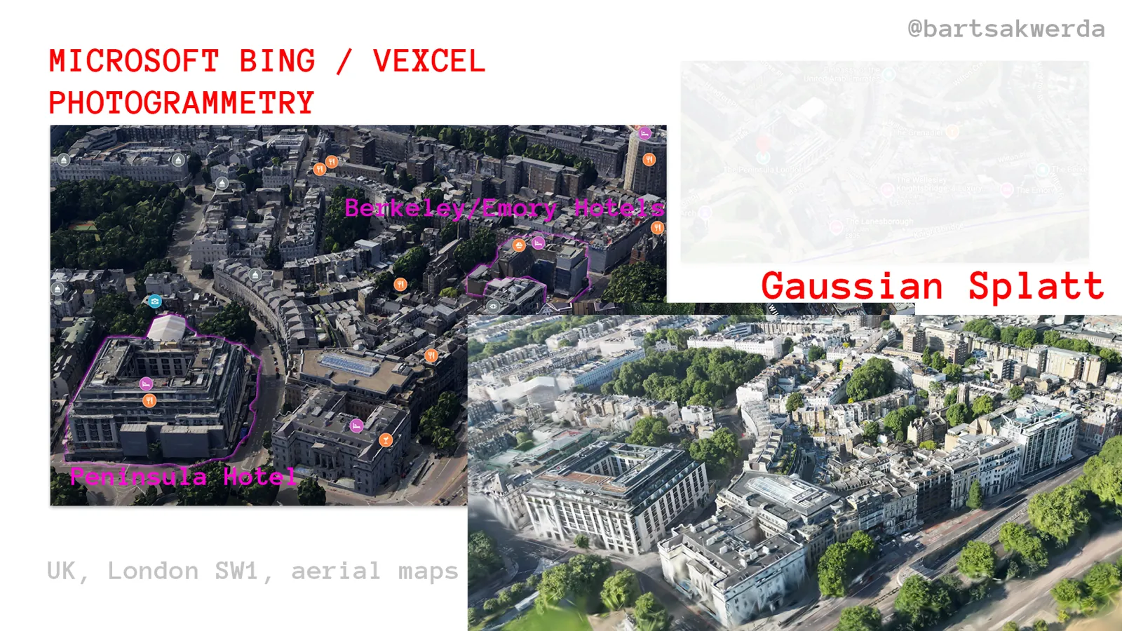
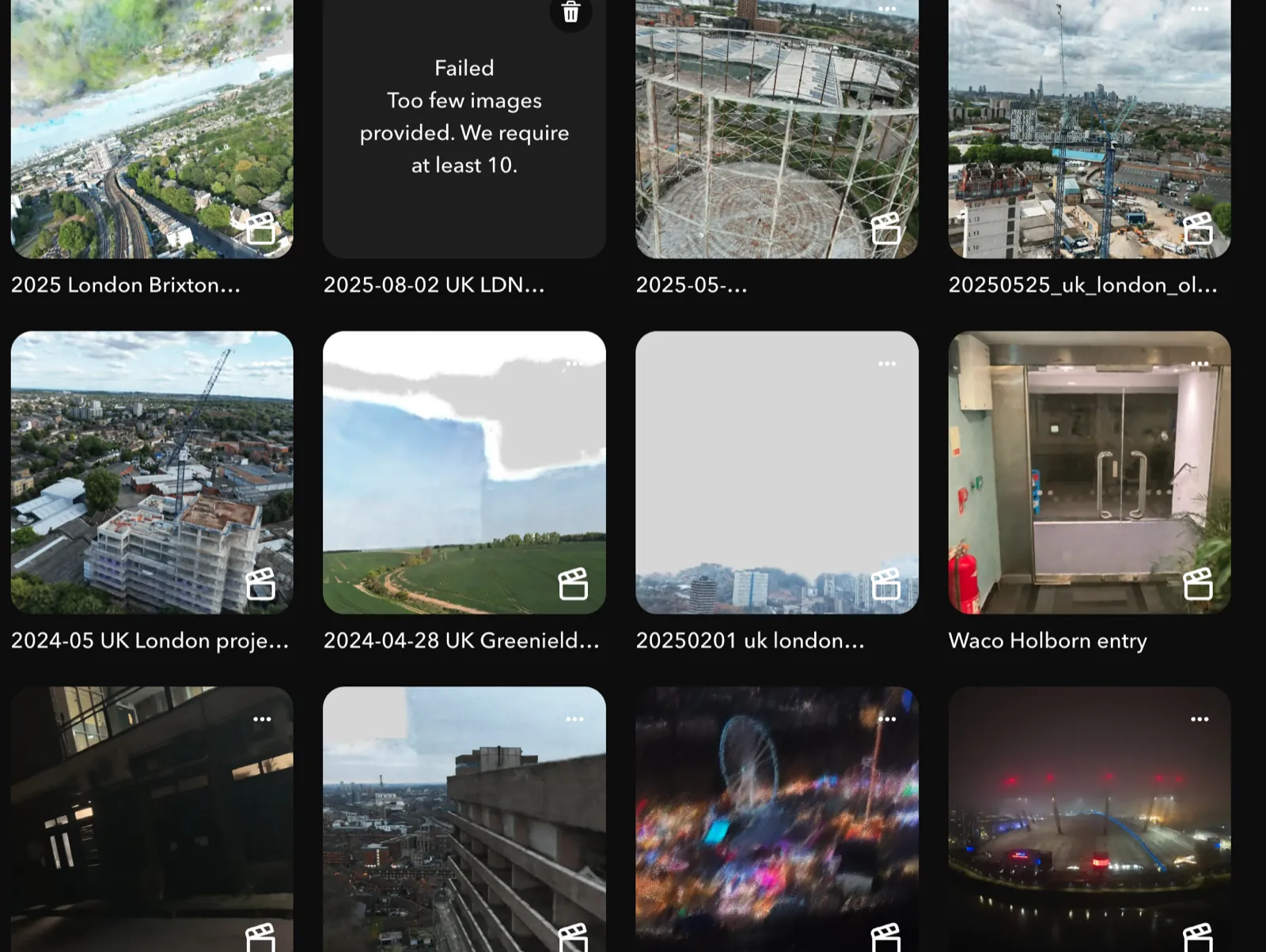
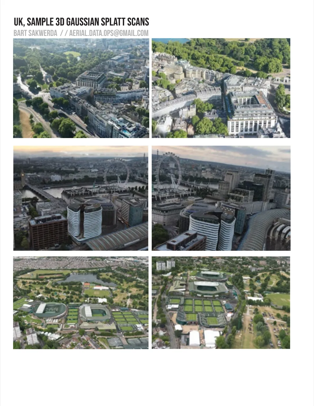
Gaussian splats from drone captures, 2024–25. Parks, terraces, the South Bank and the tennis grounds at Wimbledon, each flown as a photogrammetry set and trained into a splat you can orbit in a browser. Older work wraps Bing/Vexcel city photogrammetry with fresh drone passes of London SW1.
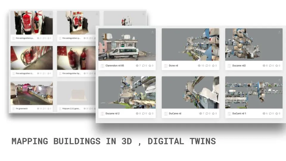
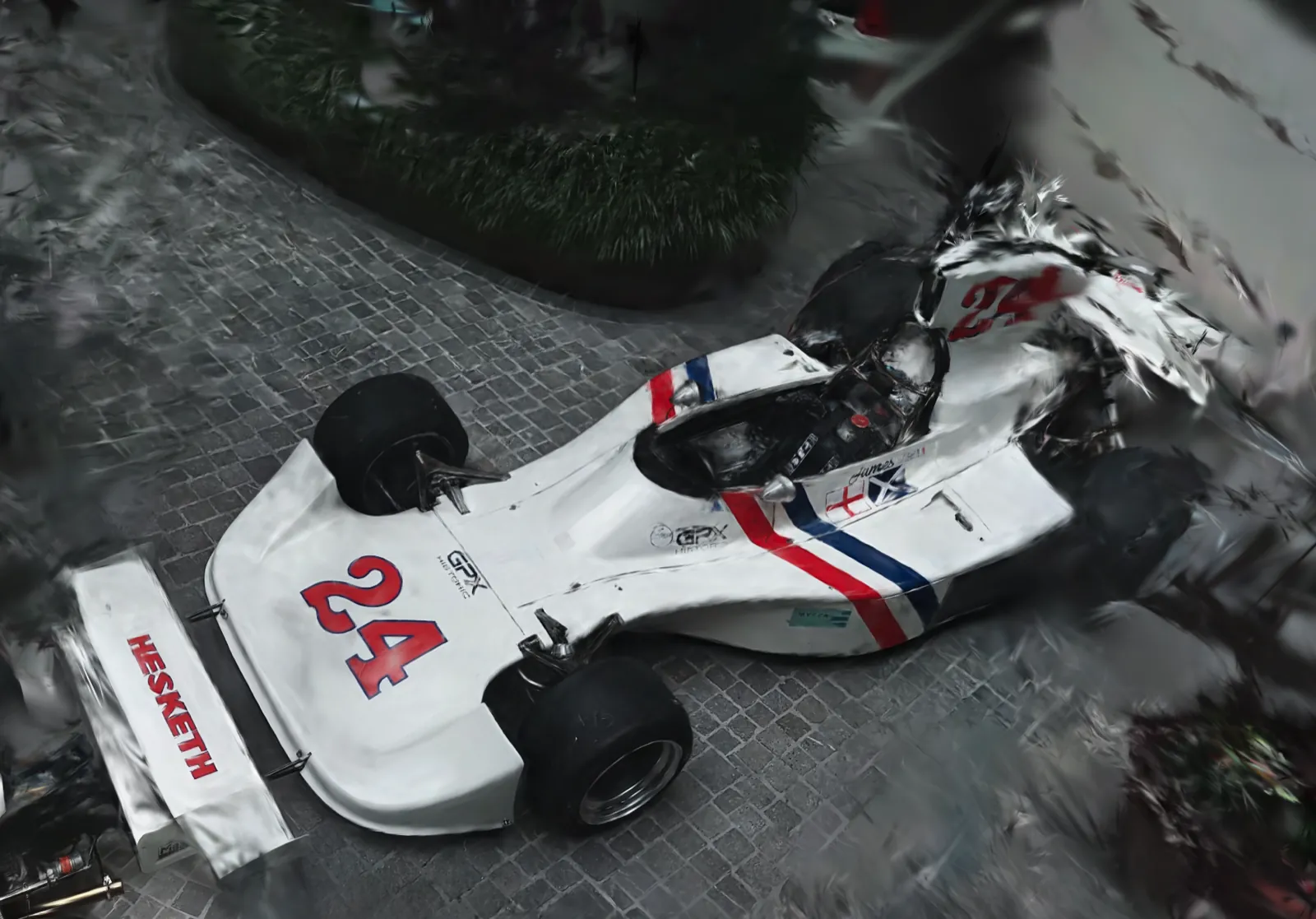
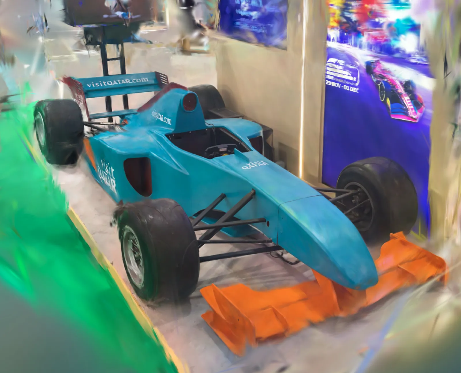
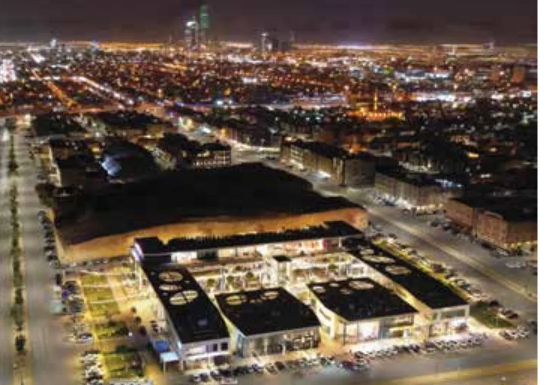
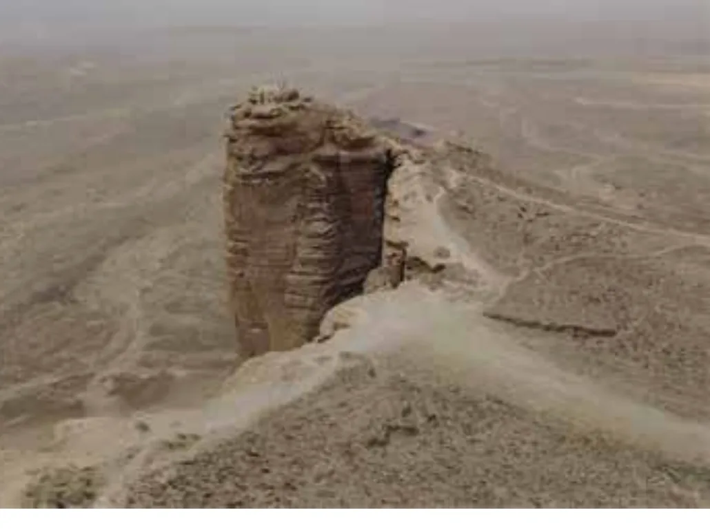
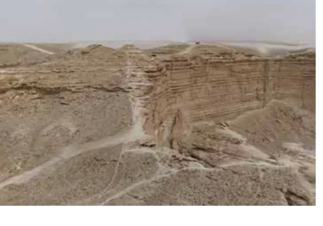
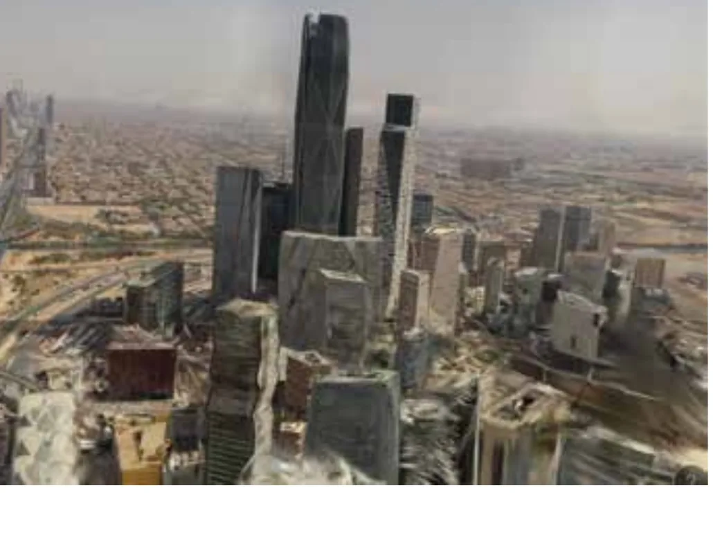
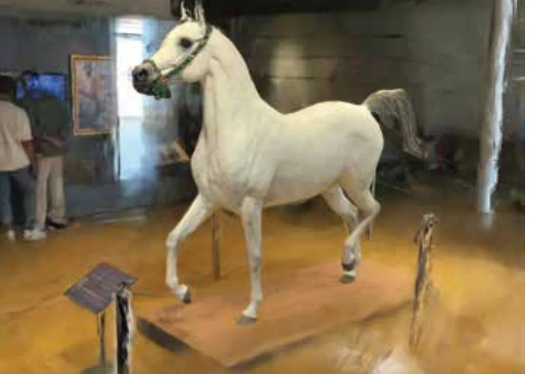
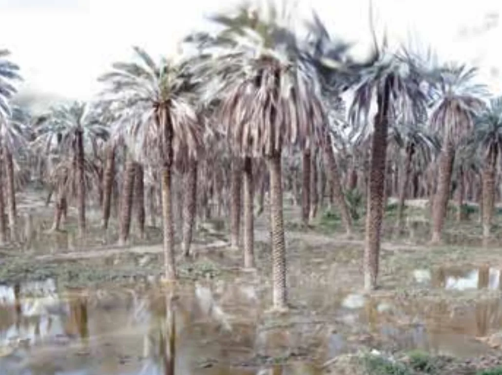
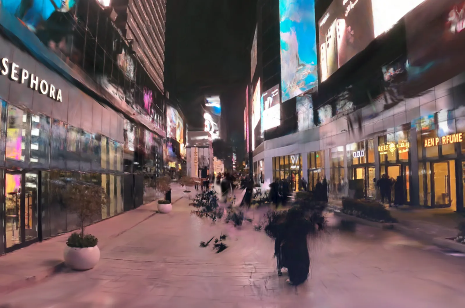
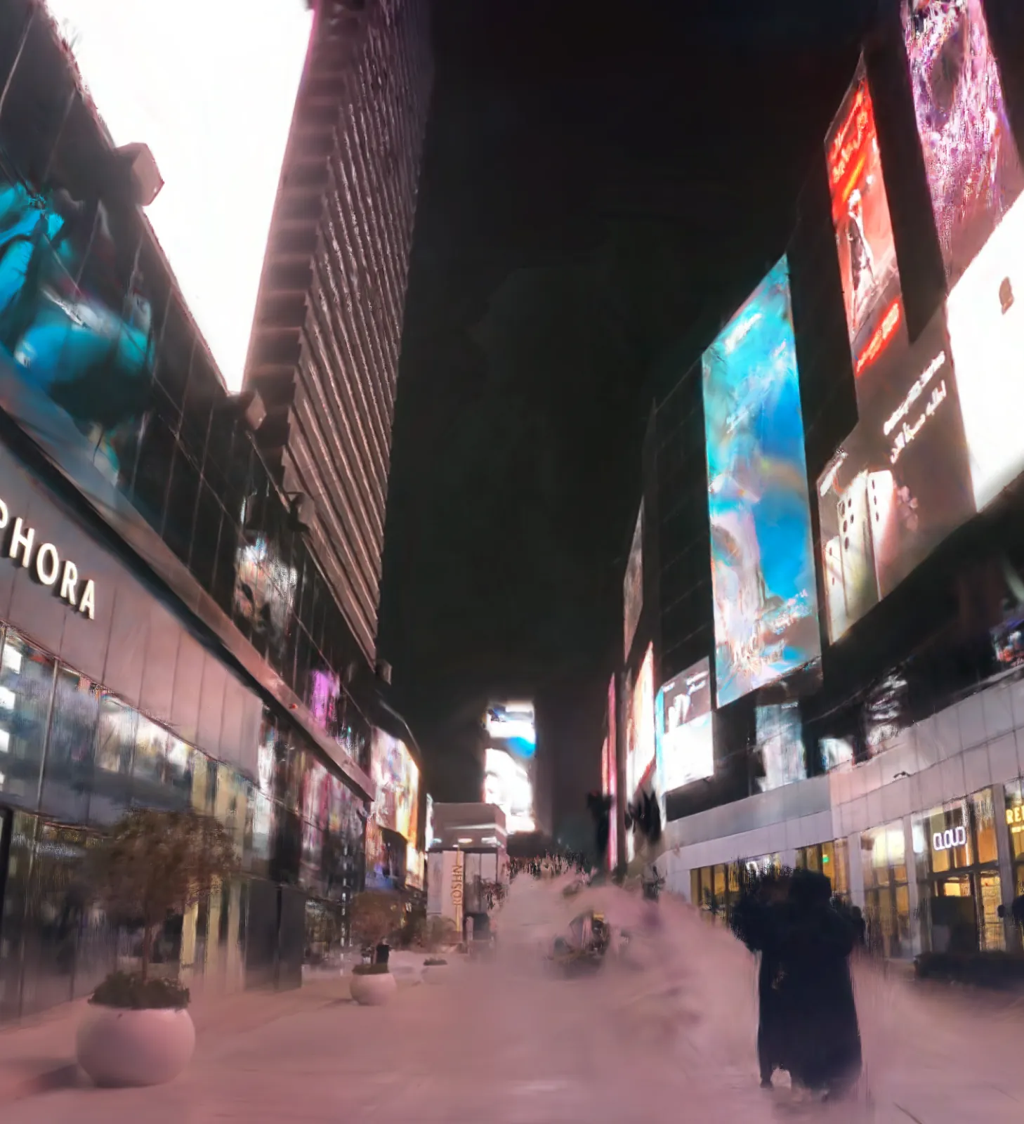
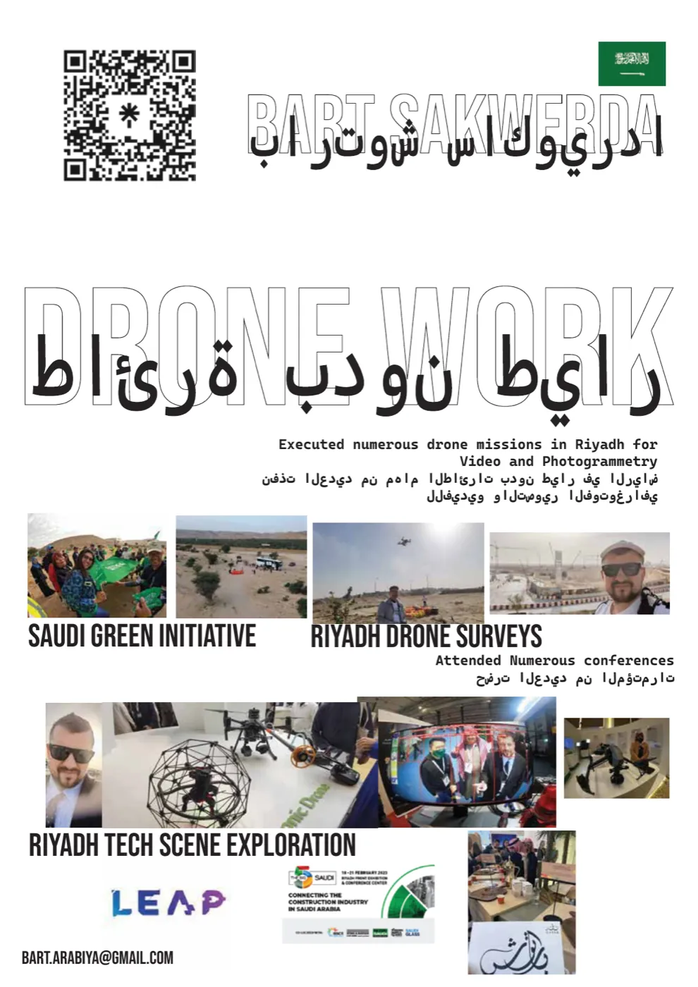
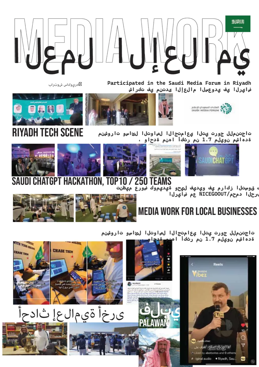
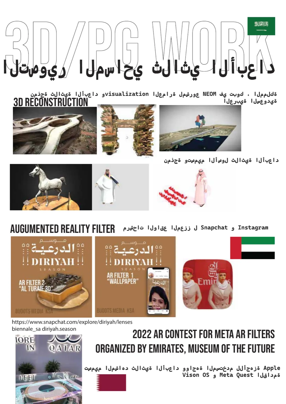
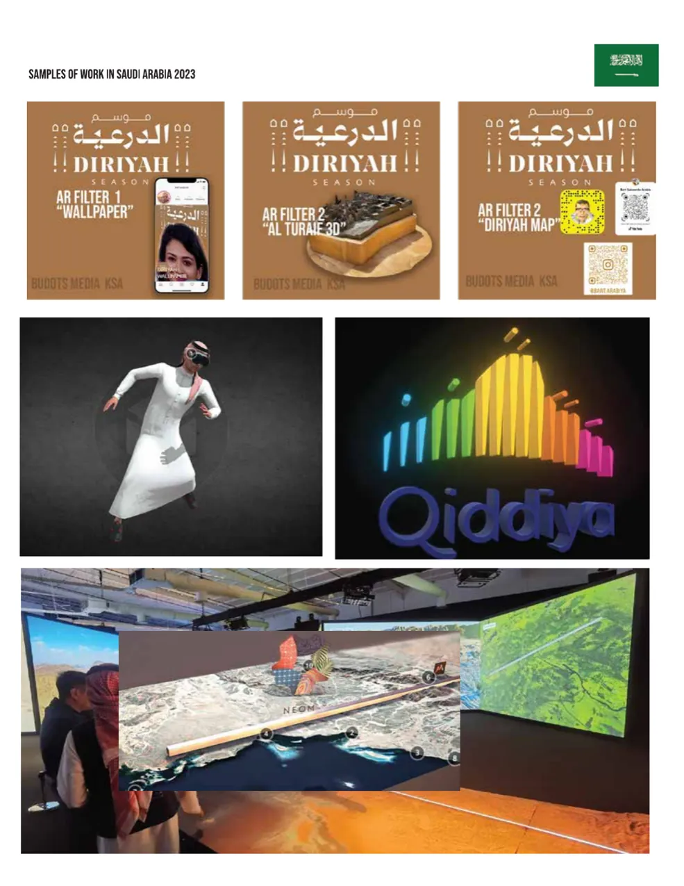
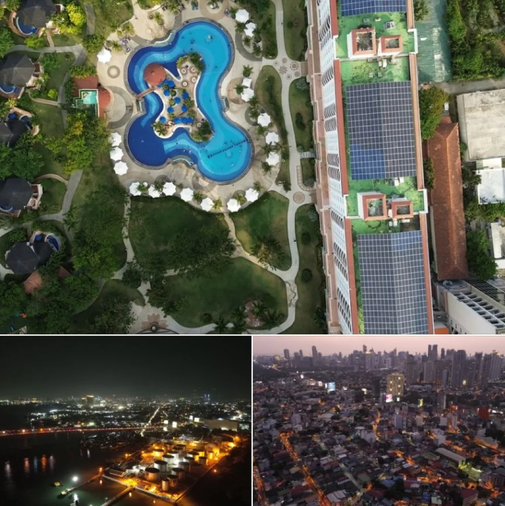
2022–23, based in Riyadh. Drone missions for video and photogrammetry, surveys for the Saudi Green Initiative, night aerials of the city, the Edge of the World escarpment, KAFD towers and museum pieces trained into splats. Alongside the flying: Diriyah Season AR filters for Snapchat and Instagram, a 3D visualisation of the NEOM region in Tabuk, the Saudi Media Forum, and a top-10 place out of 250 teams at the Saudi ChatGPT hackathon.
Budots Media's home base is Lapu-Lapu City, Cebu. Drone cinematography for tourism, architecture and news since 2015, multi-pilot shoots, and splats of the island's landmarks: the Cebu–Cordova Link Expressway and the Basilica del Santo Niño.
Mission plan, 15 Austin Friars, London EC2. A written plan for a full-facade condition survey in the City: what flies, how close, how much overlap, and what the client gets back. The same template scales to roofs, estates and plant.
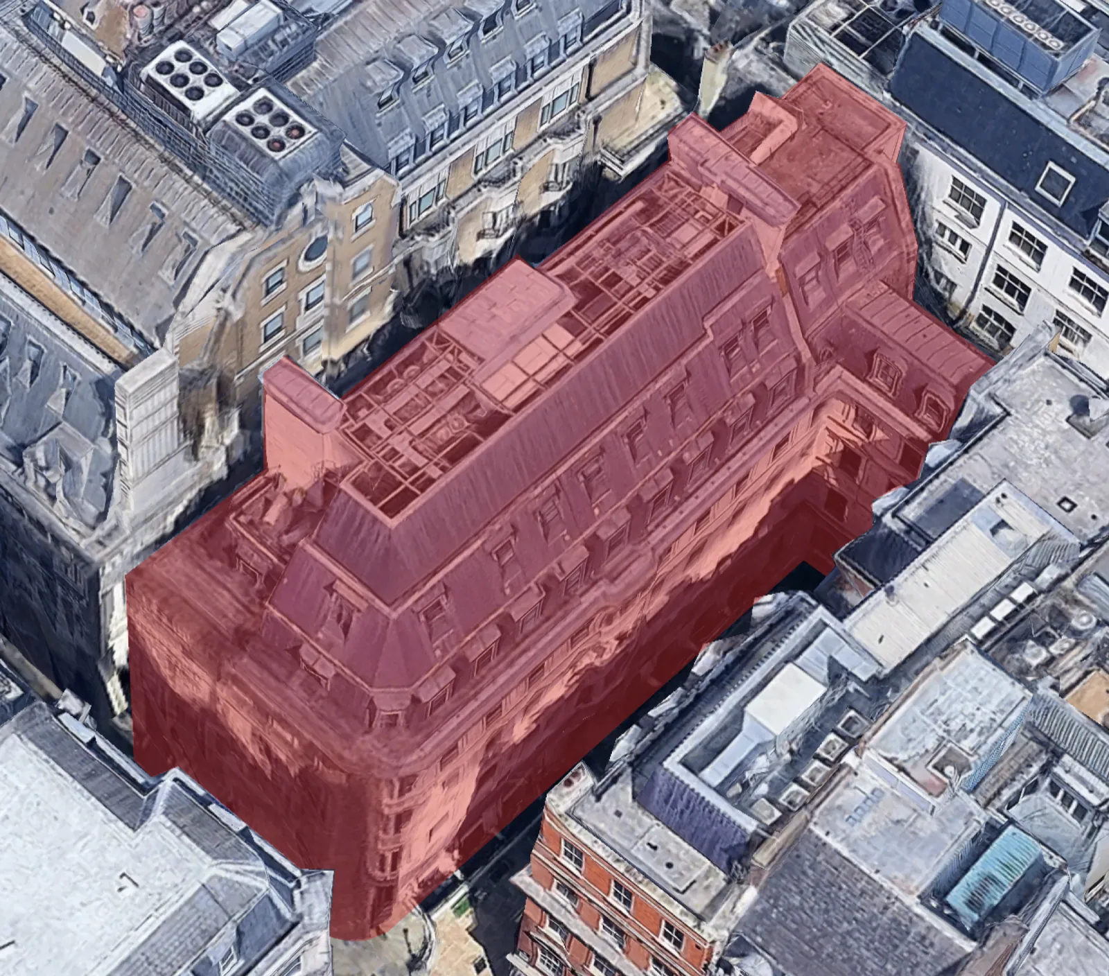
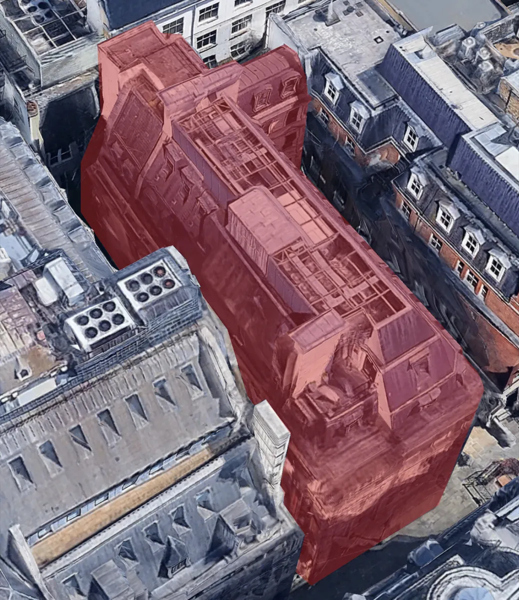
DJI Mavic 3T with RTK module and GNSS base station · visual 8000 × 6000 px plus thermal · 2-second interval shooting.
| Pass | Distance | Overlap |
|---|---|---|
| Facade | 3 m (2 m in recesses) | 90% |
| Roof | 3 m from surface, gimbal tilted for slopes | 90% |
| Orbit | 20–30 m, partial orbits, no overflight of streets | 90% |
| Handheld | 3 m for lower and obstructed facades | 90% |
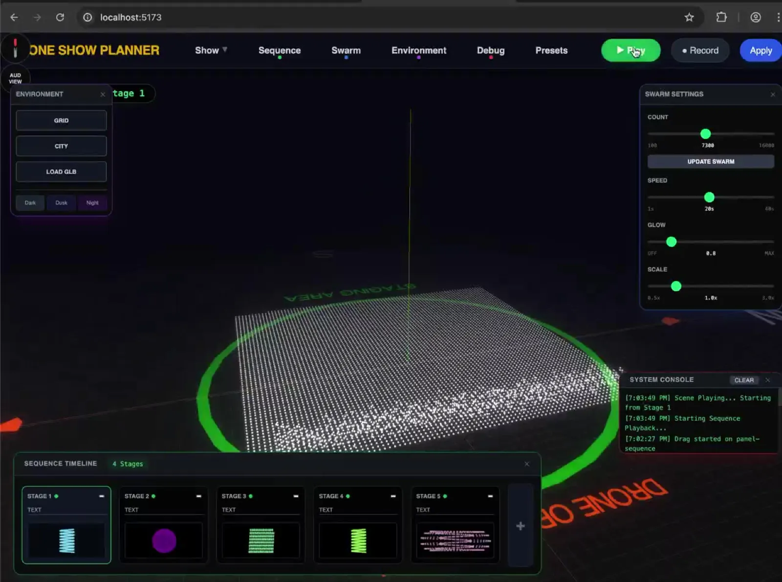
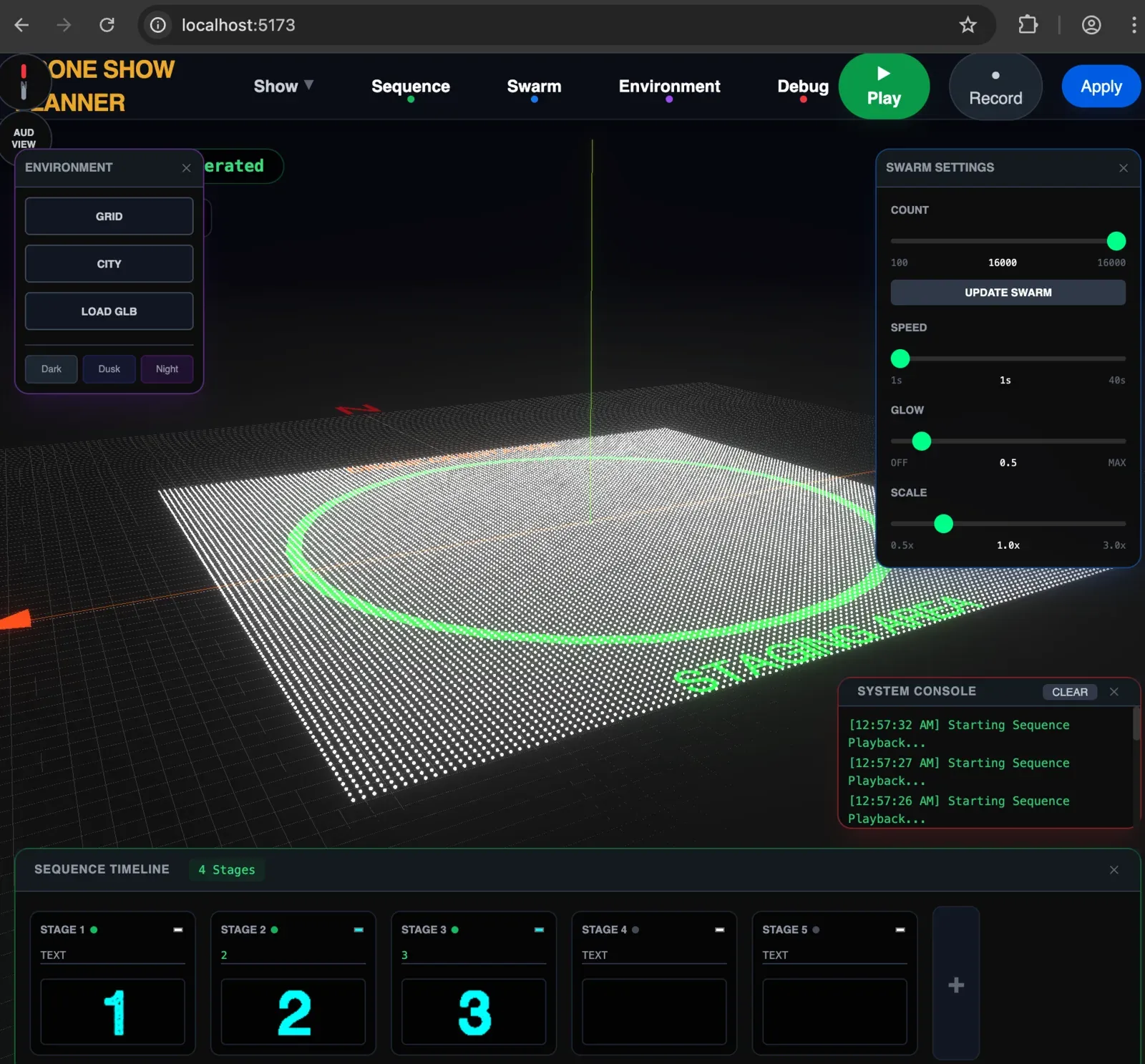
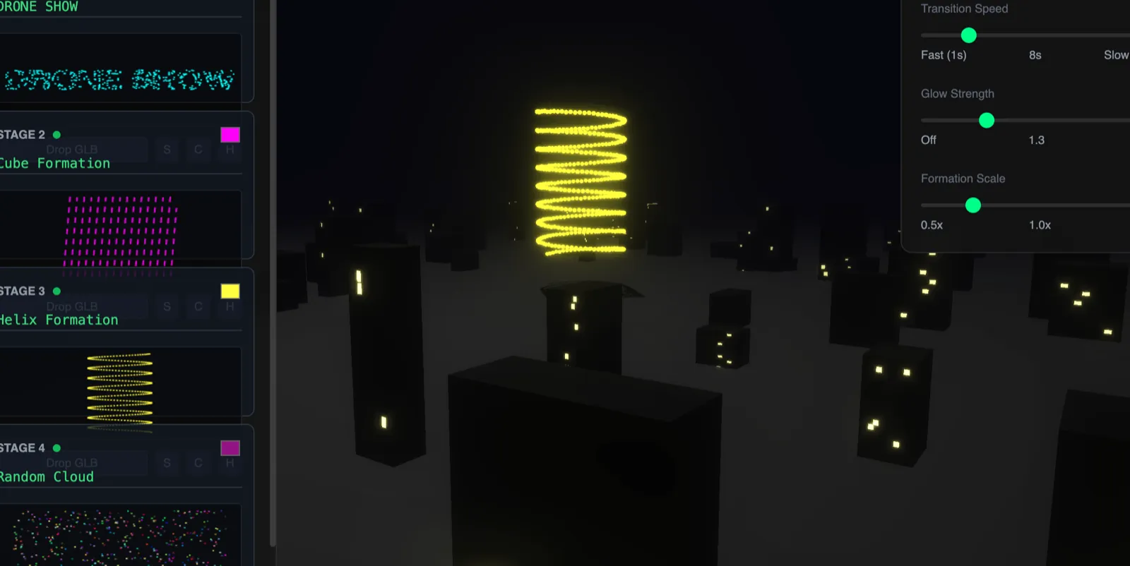
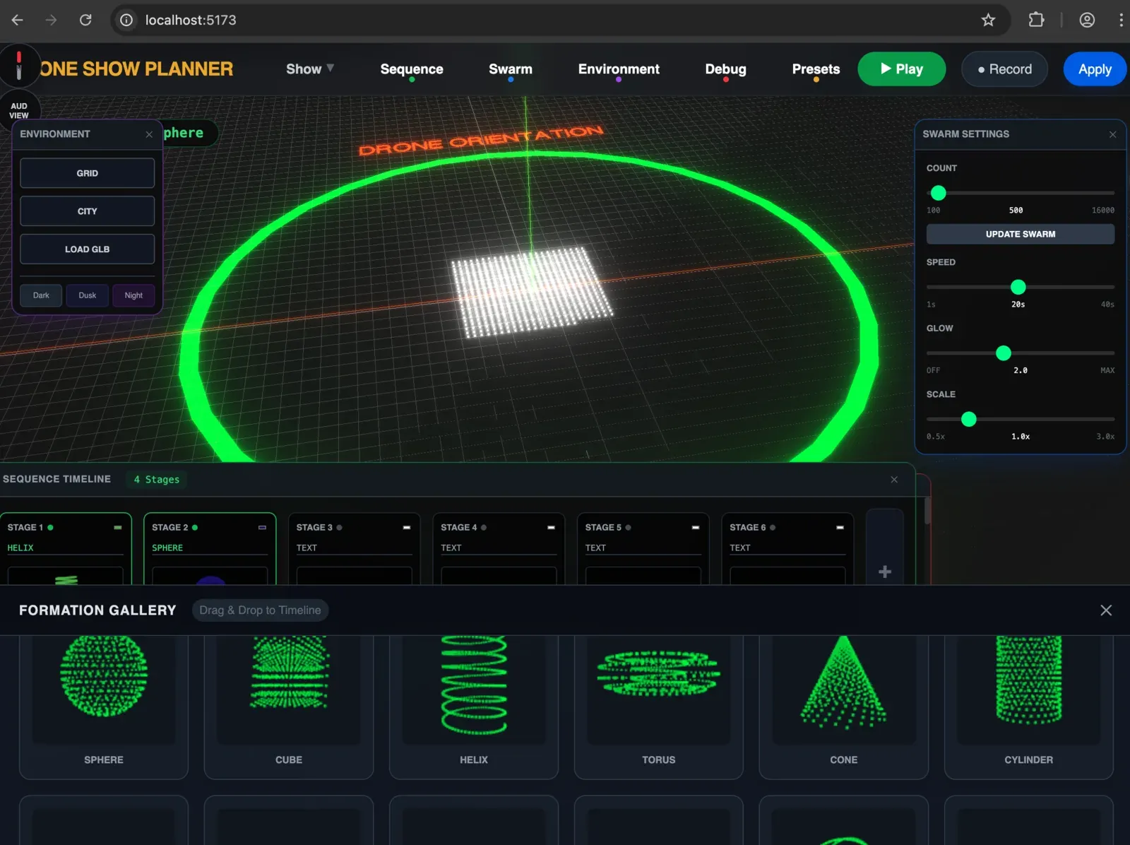
A browser app for designing light shows with up to 1,000 drones. Timeline, formations, colour and environment in one screen, then out to Blender node pipelines and Skybrush for the show file. Built through 2025–26 with AI pair-programming, tested against the fails and the classics: Shanghai, Hefei, Ras Al Khaimah, Burj Khalifa on New Year's Eve.
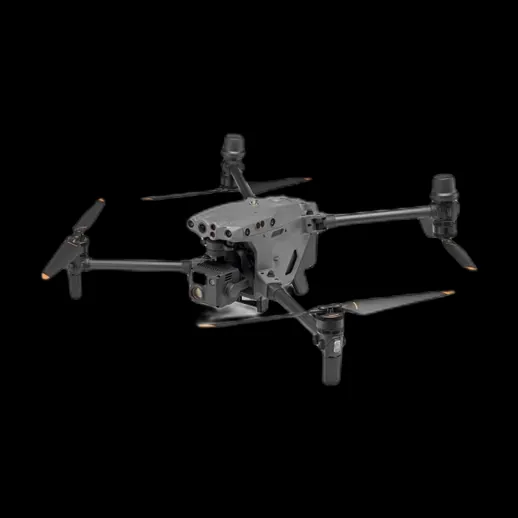
Mavic 4 Pro and Mavic 3T for survey and inspection, FPV quads for the fast stuff. Renders and 3D models of the fleet come out of Blender: the DJI Dock 3 with the Matrice 4TD, its optics and laser rangefinder, and image-to-3D tests of the Matrice 30. Drag the Mavic below.
Interactive 3D model, loads on request.
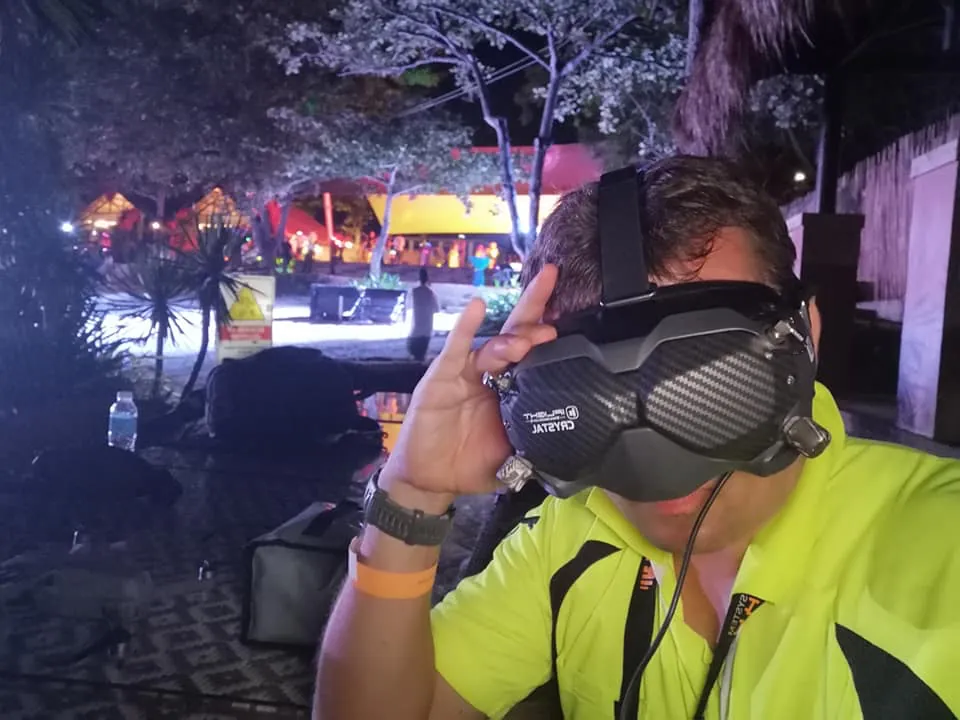
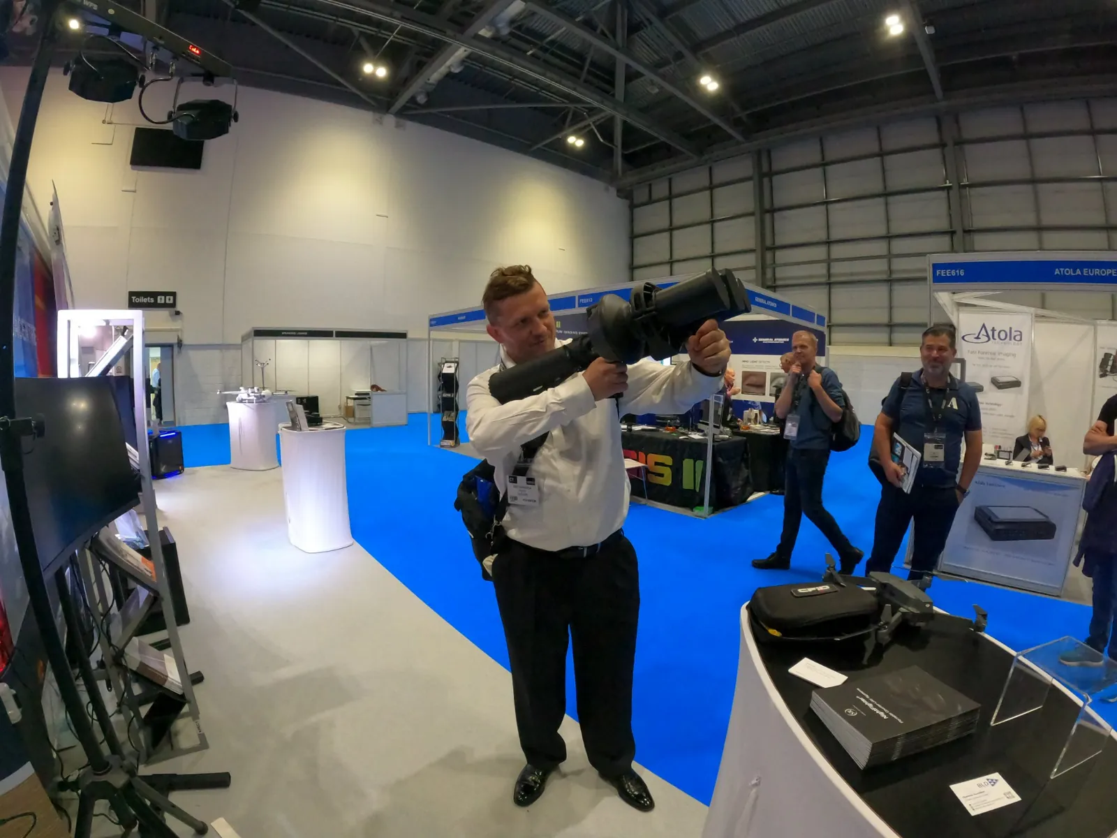
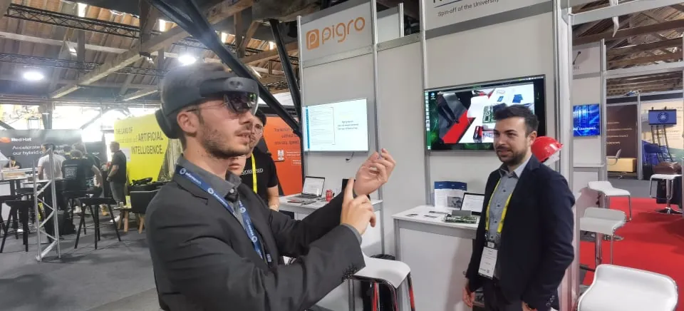
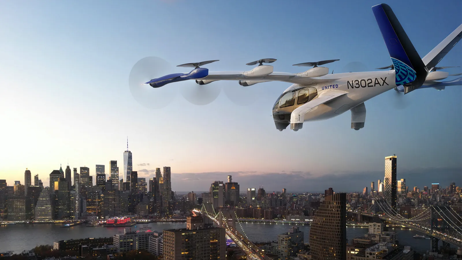
The desk work behind the flying. Airspace models of London, medical-delivery corridor studies for the NHS, vertiport and eVTOL references, and a counter-UAS library kept up to date from the field.
A MapLibre / 3D-tiles flight planner around Waterloo and the South West Main Line corridor, with CAA restricted areas, heli routes and the Matrice 4D as the planning aircraft.
A 2022 tech-challenge submission on routing NHS deliveries, and a 2025 QGIS study (UK AIP, BVLOS airspace, heliports and vertiports) of the best UK locations for a medical drone-delivery network.
Splat of the Skyports vertiport at Canary Wharf, Joby S4 and Archer Midnight models, New York BVLOS route concepts, and a reference set on Dubai, China and UK operators.
Sensor masts, RF direction-finding and EO/IR configurations observed in Riyadh in 2023, plus a catalogue of RF-detection and electronic-warfare equipment for reference.
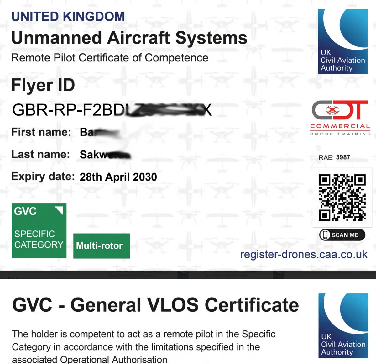
UK CAA General VLOS Certificate, Specific category, multi-rotor. Trained and examined with Commercial Drone Training in April 2025. Operational Authorisations for other categories arranged per project.
Founder of Budots Media, based in London, flying for clients across the UK, the Gulf and Southeast Asia. In the UK the drone work trades as Aerial Data Ops.
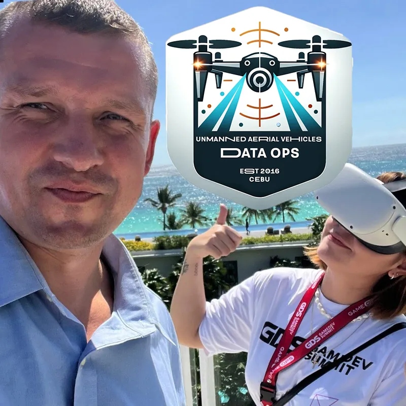
Drone pilot and media technologist. Ten years of aerial imaging, 3D scanning and experimental flight projects, with a technical background in games development, systems integration and, lately, AI-assisted post-processing. Flying stabilised UAVs since 2019 and FPV since 2020; Budots Media has been producing drone footage for media, architecture and tourism in the Philippines since 2015.
Locations flown include London, Riyadh and the Saudi desert, Cebu and Palawan, Kuala Lumpur, Singapore and Thailand. Comfortable with the whole chain: airspace and permissions, mission planning, the flight, then photogrammetry, splats, GIS and the web page the client actually opens.