Aerial capture and digital twins across the UK and the Philippines: from London rooftops to the Cebu–Cordova Link Expressway. Explore them in your browser.
Gaussian splats and point clouds from my own drone flights, optimised to stream on any device.
▶ Open interactive 3D
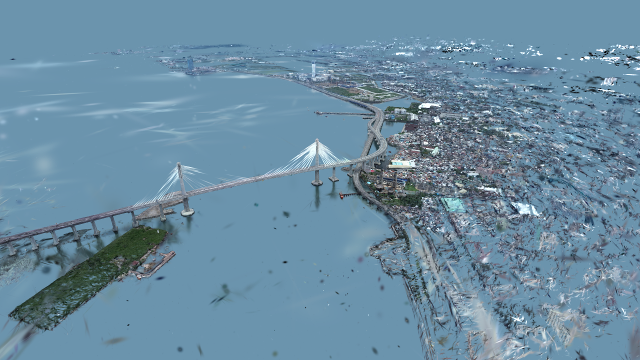
The cable-stayed bridge linking Cebu City and Cordova on Mactan Island, with the waterfront on both sides. Drag to orbit, scroll to zoom.
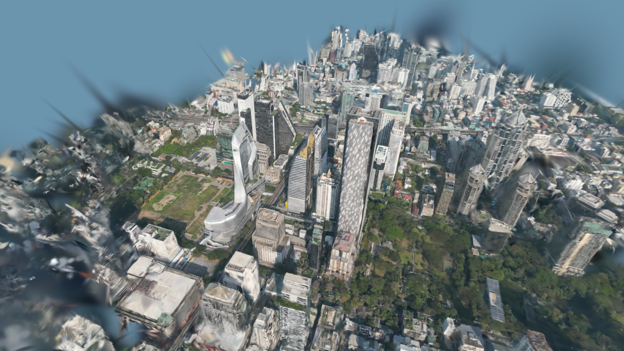
King Power MahanakhonBangkok · splat
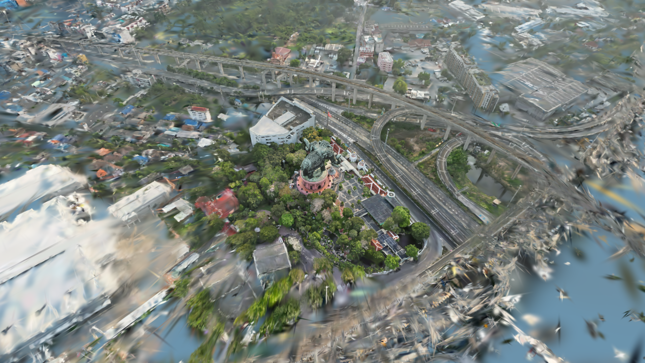
Erawan Museum · ช้างเอราวัณSamut Prakan / Bangkok · splat
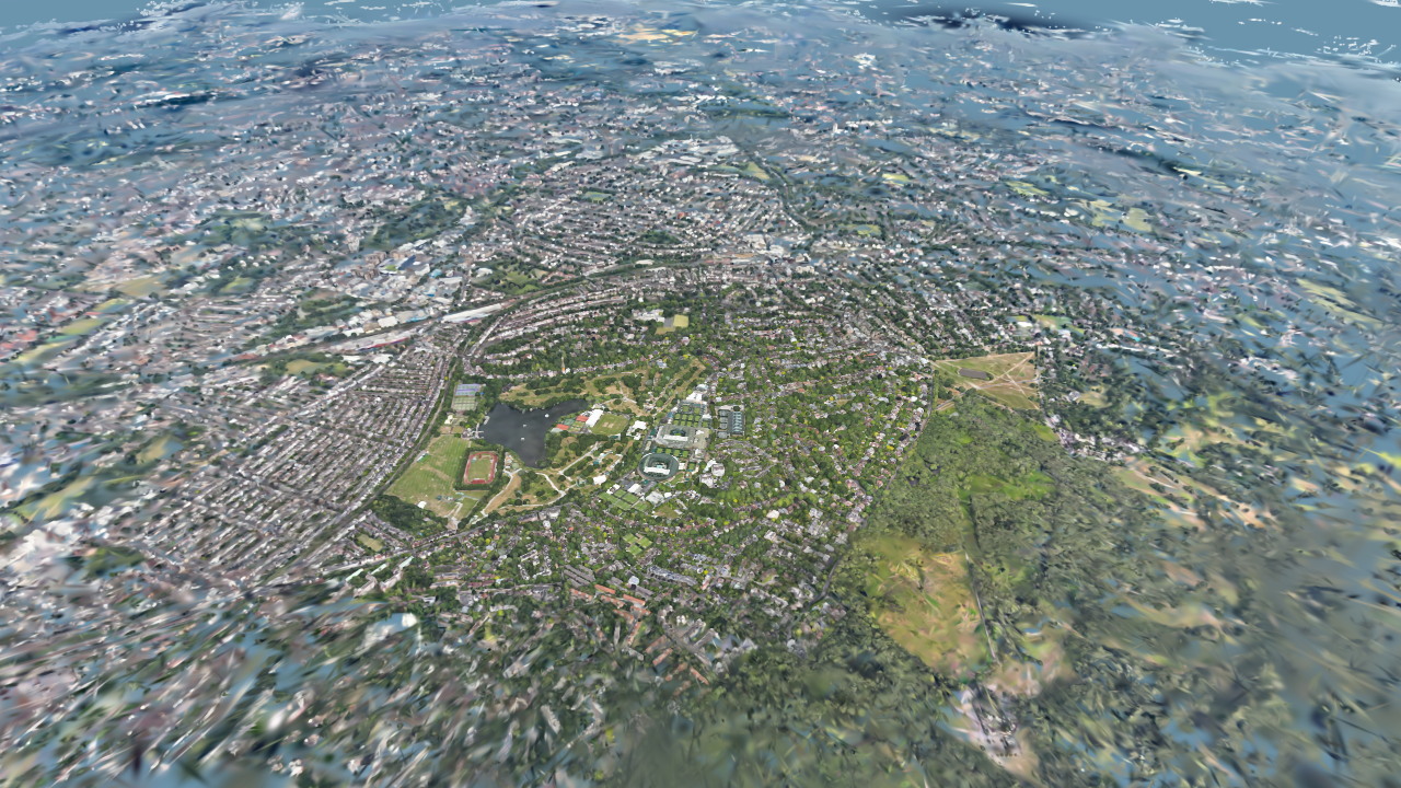
WimbledonLondon · splat
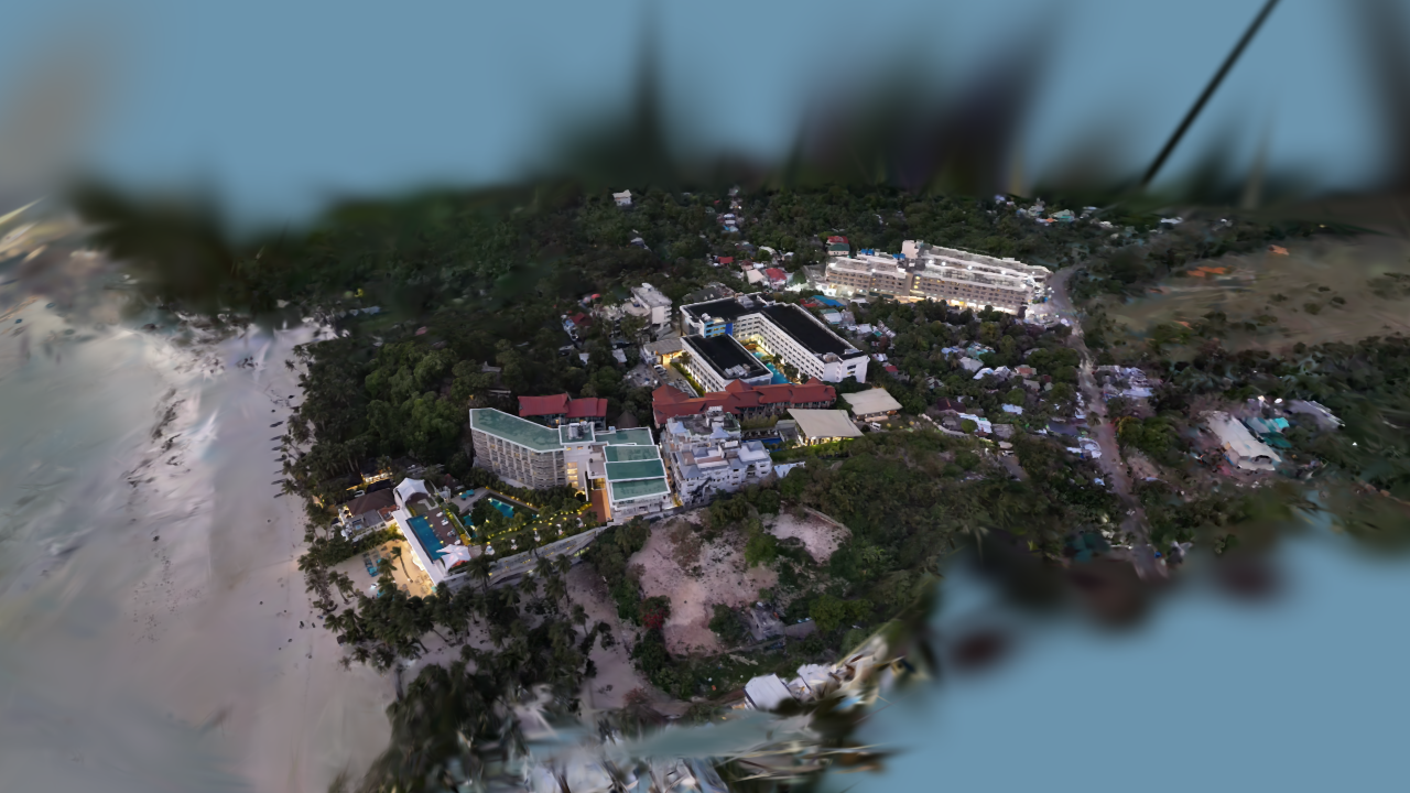
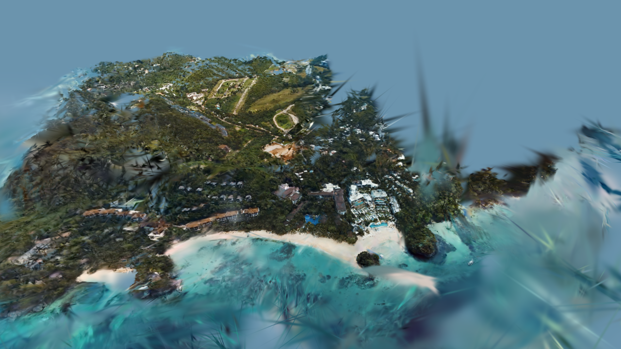
The Lind, BoracayPhilippines · splat
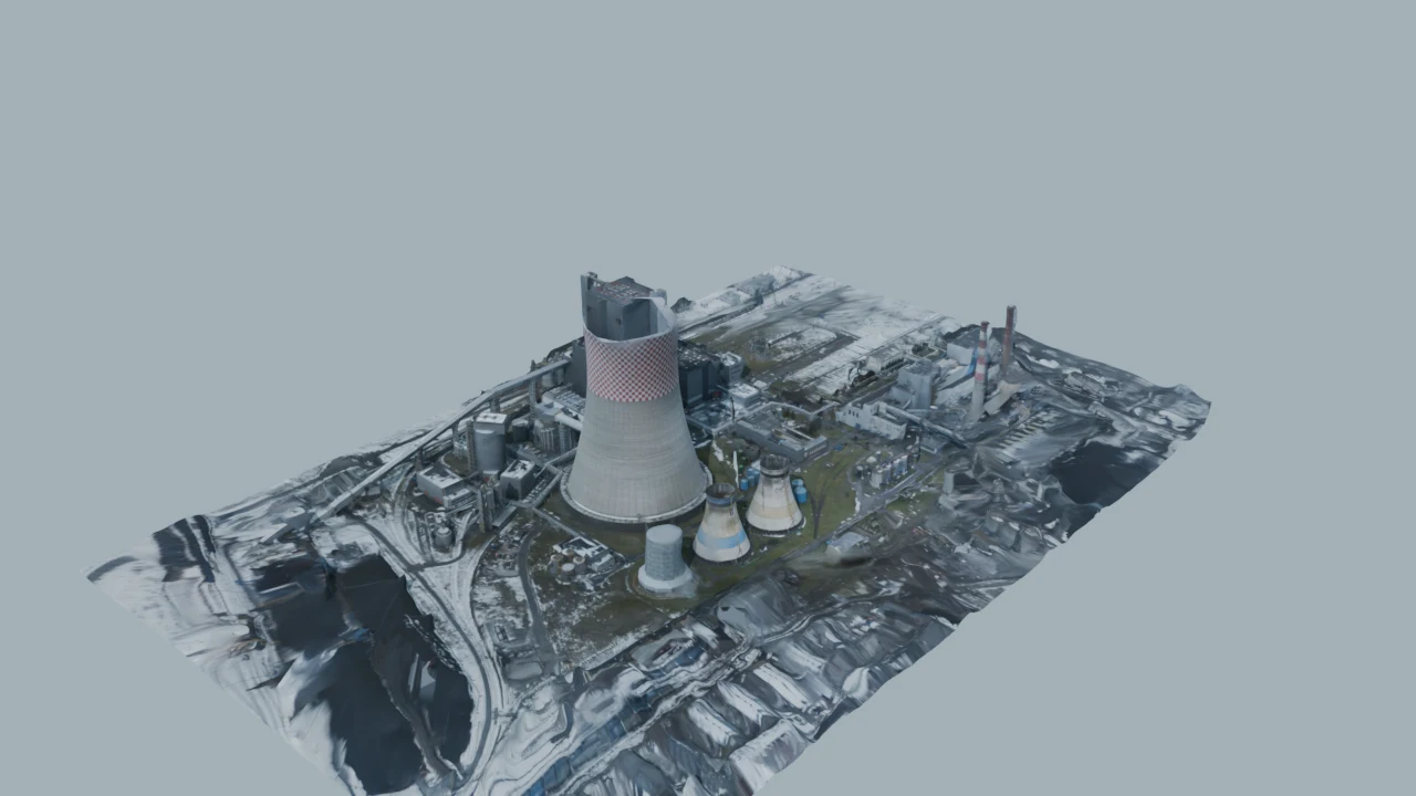
Jaworzno 3 power plantPoland · photogrammetry
Basilica del Santo NiñoCebu at night · splat
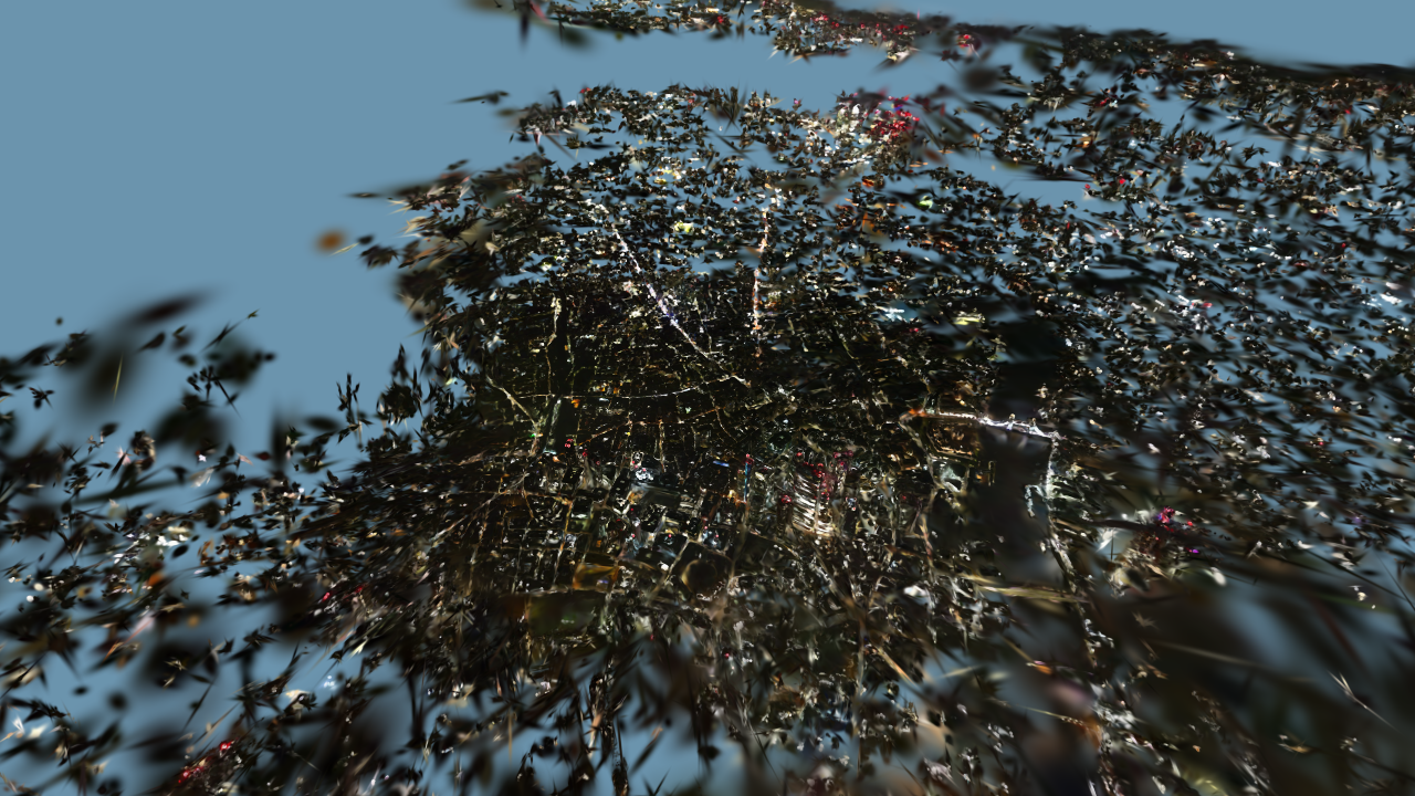
St Paul'sLondon at night · splat
City of LondonLondon at night · splat
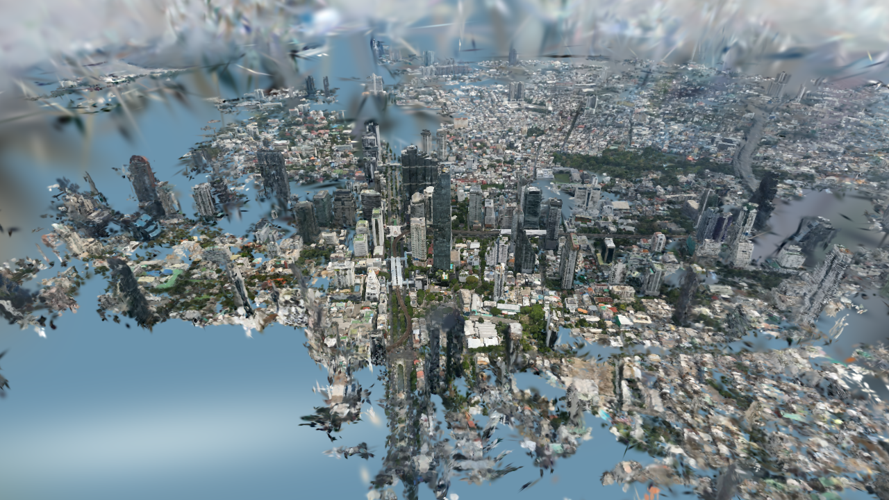
Bangkok city centreThailand · splat
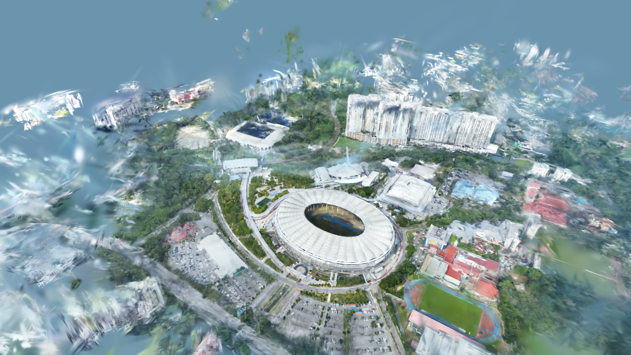
National Stadium, Bukit JalilKuala Lumpur · splat
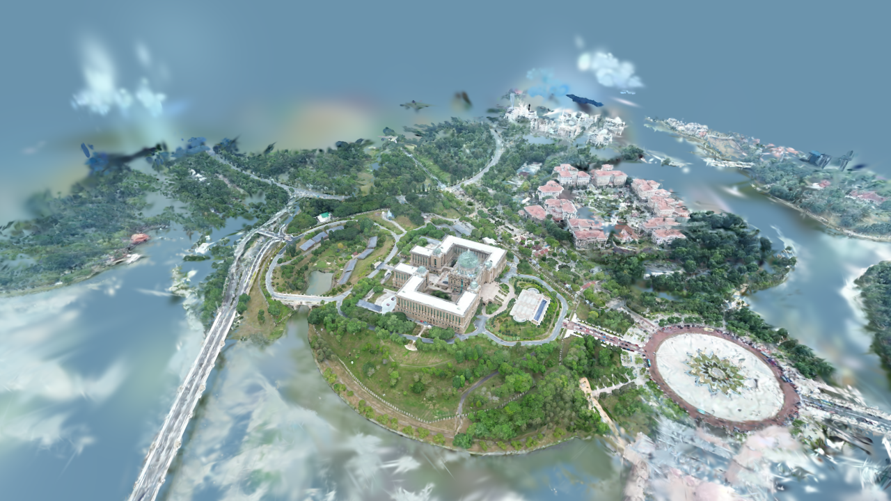
PutrajayaMalaysia · splat
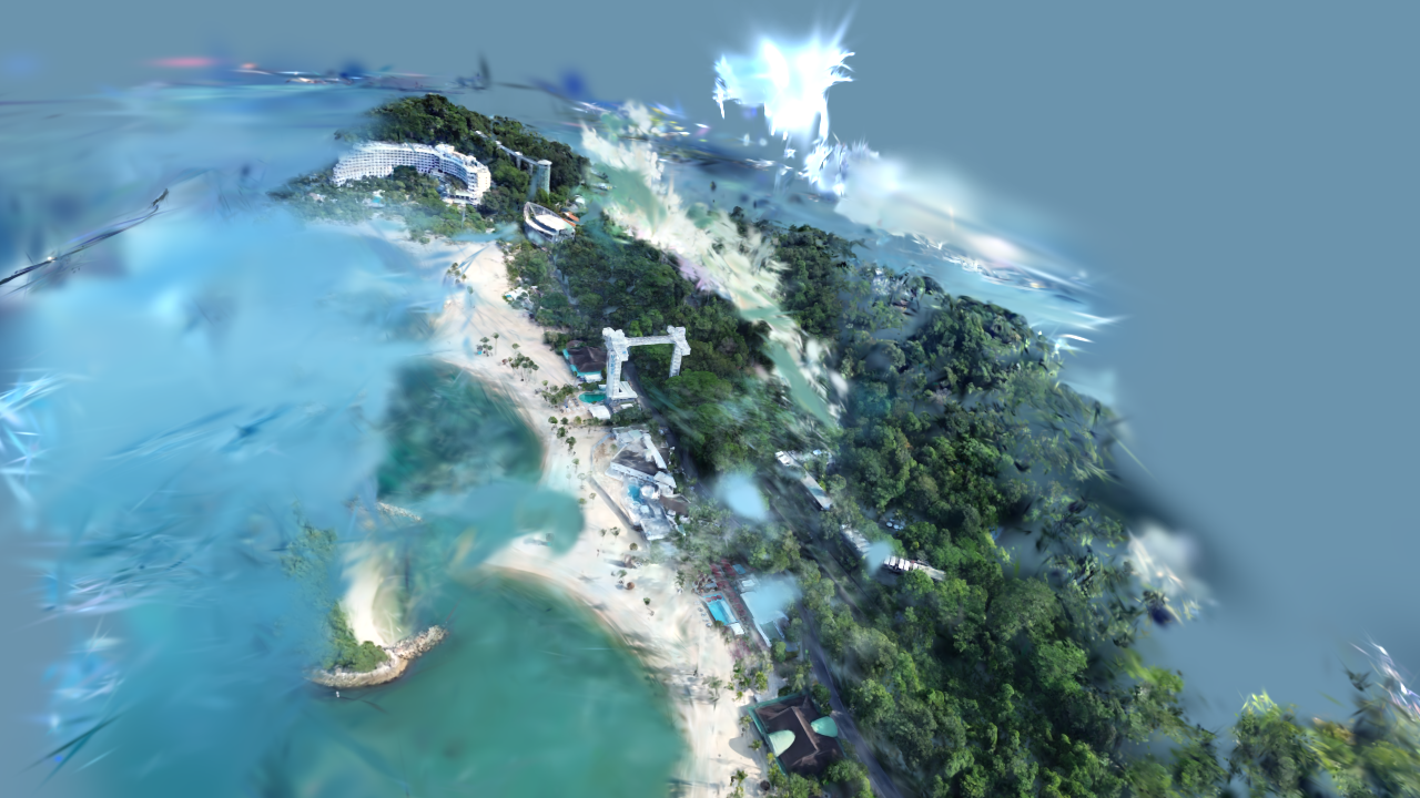
SentosaSingapore · splat
Mövenpick, BoracayPhilippines · splat
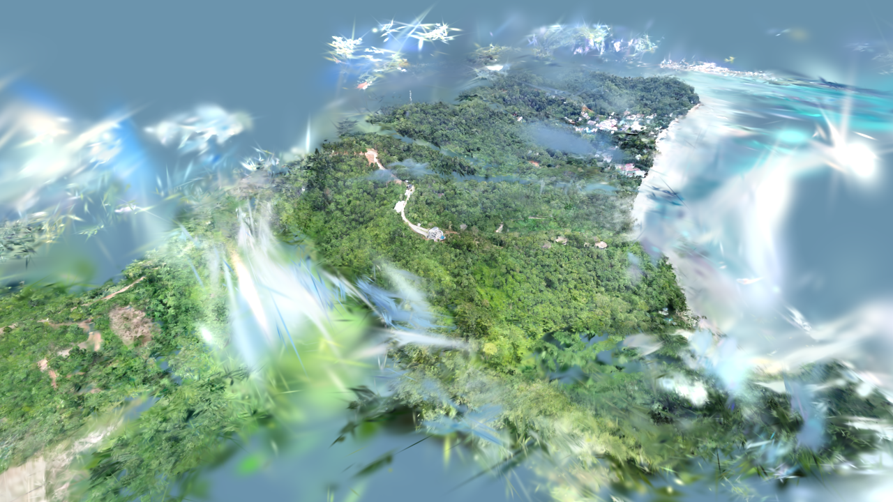
Lihim resortPhilippines · splat
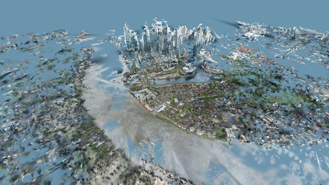
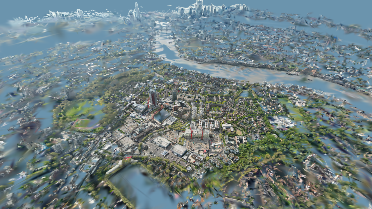
Canary Wharf & Isle of DogsLondon · splat
Canada Water & RotherhitheLondon · splat
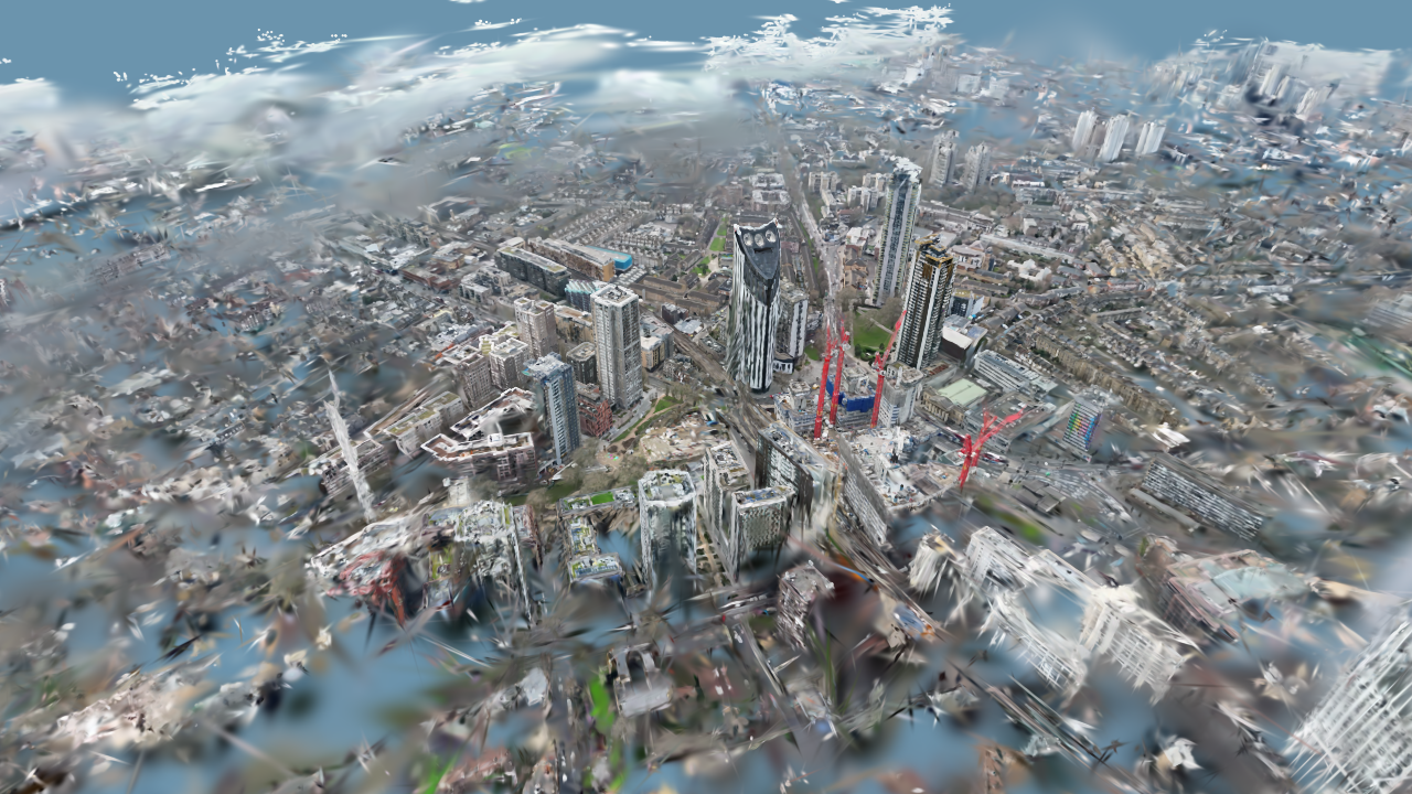
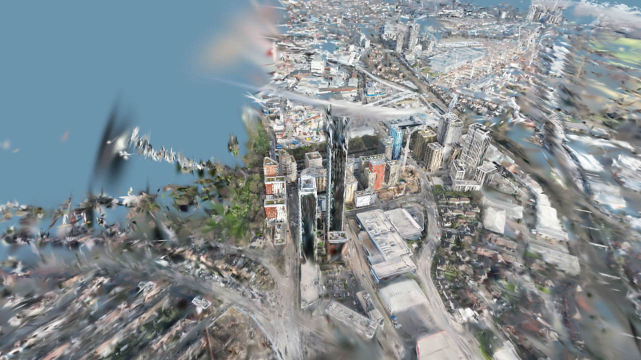
Elephant and CastleLondon · splat
North ActonLondon · splat
Earlier photogrammetry and point-cloud captures of the bridge, its southern pylon, the port and the Cordova toll gate (2023), published on Sketchfab. Click a model to load it here.
Selected flights, 2022–2026: London, the Cotswolds, Cebu, Mactan, Palawan, Poland and Thailand.
Drone captures turned into data for computer vision, autonomy and world models.
Annotated splats53 bilingual callouts across 18 scenes
London airspace twin3D restricted zones · 51 flown spots
Library: 131 real-world 3D datasets (splats, point clouds, meshes) from 2021–2026, being segmented and labelled for world-model and spatial-AI teams. Ask about licensing.
From a single shoot to datasets for 3D and AI teams.
Stills, hyperlapse, FPV and panoramas for brands, tourism and events.
Point clouds, orthomosaics and meshes for sites, inspections and planning.
Photoreal digital twins that stream on the web, phones and headsets.
Labelled real-world captures for world-model and spatial-AI teams.
I'm Bart Sakwerda: drone pilot, 3D capture nerd and AI consultant, splitting my time between London and Cebu. I founded Budots Media (media production, Cebu and London), Aerial Data Ops (UAS operator: photogrammetry, point clouds, Gaussian splats) and the Philippines Travel Company.
It started with three years in South-East Asia (2013–2016) and a drone in the bag. Since then I've flown and scanned across the Philippines, the UK, Poland, Thailand, Vietnam, Malaysia, Saudi Arabia, Italy and Costa Rica: from emergency-response flights after Typhoon Odette in Lapu-Lapu City to drone, NeRF and photogrammetry experiments in Riyadh, and hundreds of gigabytes of aerial Gaussian splats over London.
The thread through all of it is vision, in both senses. Computer vision: segmenting and counting objects in aerial photos, labelling 3D scans so machines can understand places, and feeding real-world captures to the world models now being built. And spatial computing: splats and twins you can walk through on a phone, in a browser or in a visionOS headset. Lately I've been pairing drones with AI agents, from a 1,000-drone show choreographed in Blender with Claude to the segmented CCLEX splat on this site.